Originally posted by
HossC
 https://www.flickr.com/photos/conejo...7638951711855/
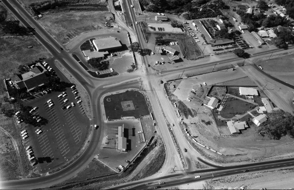
I really liked the aerials of Moorpark Road and Thousand Oaks Boulevard
Hoss, especially this first one. (shown above)
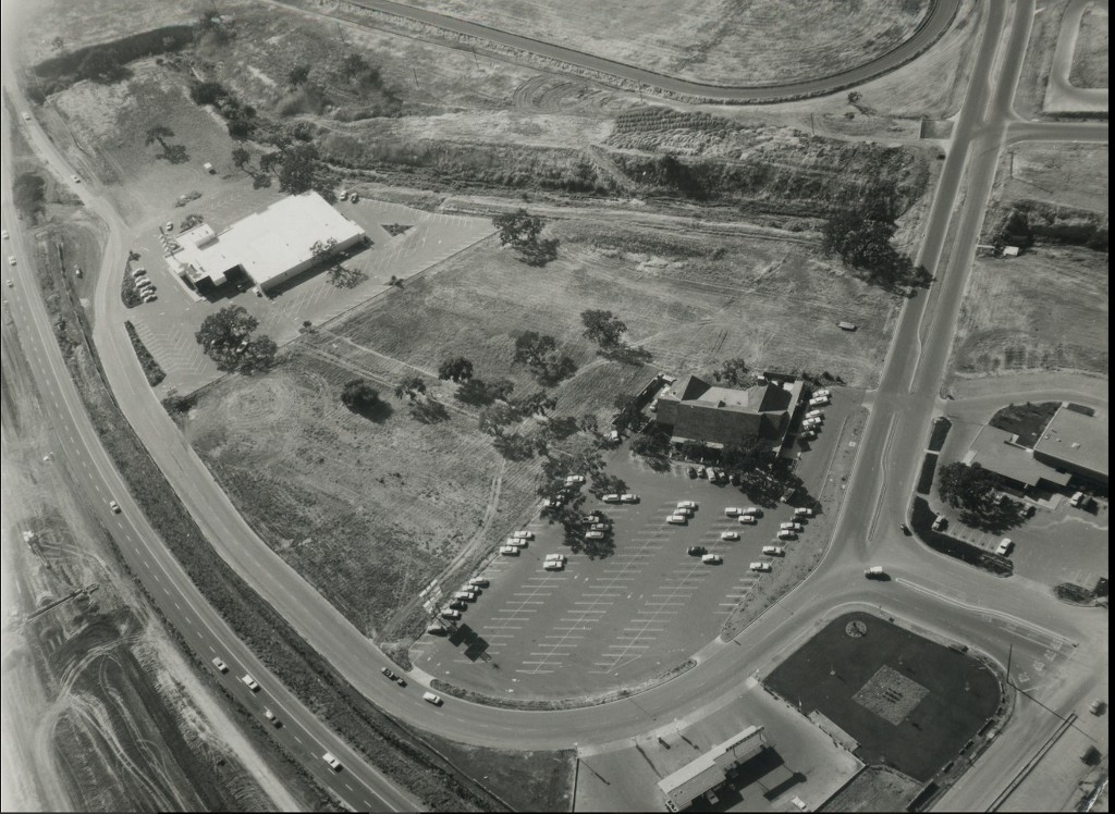
Here's another early aerial (1961 or 62) that shows Du-Par's before the Chalet Motel was built next door between the restaurant and the drainage ditch.
 https://www.flickr.com/photos/conejo...ream/lightbox/
What I found intriguing was that narrow strip of land

between Du-par's parking lot and the Conejo Village Bowl parking lot at upper left.
Here's a closer look:
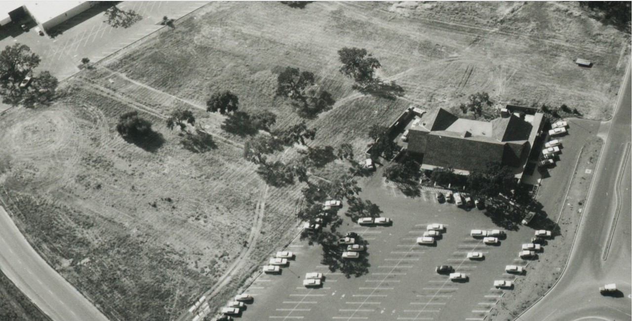
detail
Well, it turns out the mysterious strip of land is a remnant of the original Thousand Oaks Boulevard.
Mike over at "Conejo Through the Lens" says that portion of the road was still in use up until 1958. (only 3 or 4 years before this photo was taken!)
_____