Weird, I haven't seen that map and it looks different to the one I had seen. I think it was previously posted here but is found on this link:
http://www.csulb.edu/~odinthor/socal5.html
This map shows Market St only running 2 blocks between Los Angeles and Alameda. I assumed 210 Market St pretty much matches up with today's 210 Temple. I will have to take a closer look at Beaudry's map to get a feel for where everything is and to see how/if I was mistaken.
Quote:
Originally Posted by Beaudry

Hey Ninja55, welcome to the board -- think I have something you might dig. But first, to clear up why you can't find Market on the map -- it's been wiped off. The map. As in:
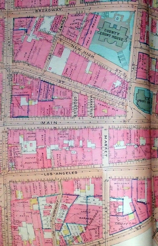
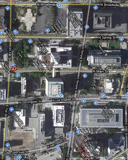
First runs down the left in both images and Broadway along the top. Temple stopped at Main and after a little jog Market began. Paris Inn would be built south of Los Angeles St in the little white strip that reads "Truck & Teamster Co." Now, Temple makes a diagonal slice, San Pedro no longer continues up to meet Commercial, and Aliso now continues down to become Commercial...
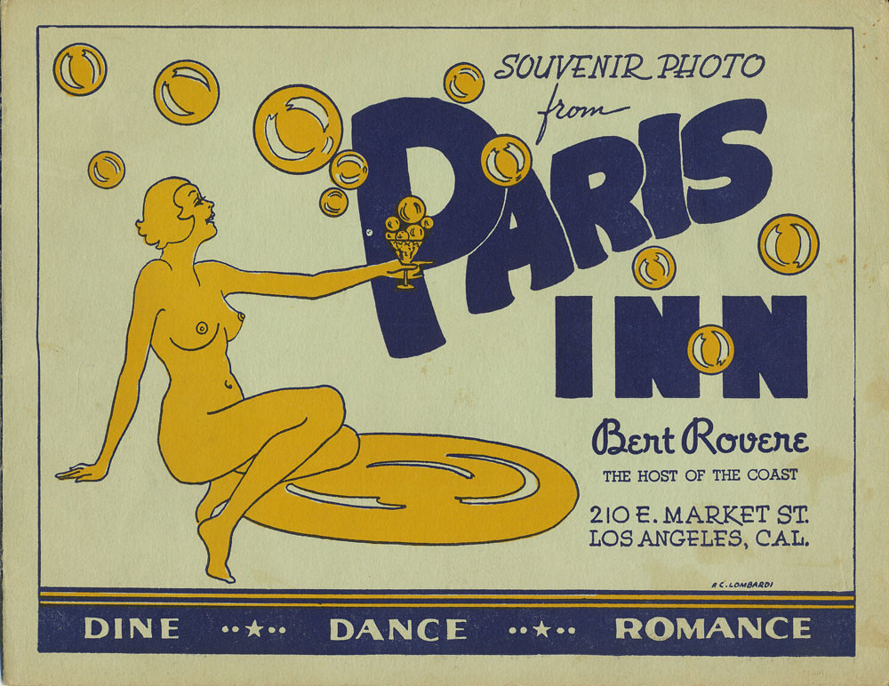
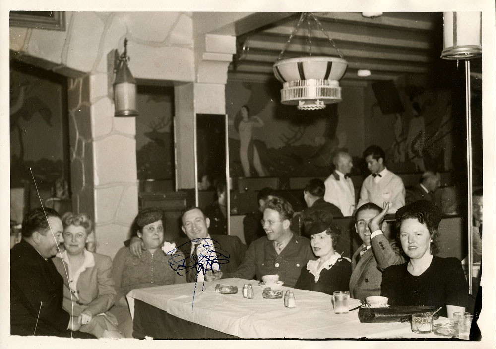
...and now, an interior shot of the PI from February 1944:
 |