North America's remotest road, that is, the road leading to the farthest point from any village in North America, according to Wikipedia, and it's in Quebec!
So, when i found out, I decided to take the trip to there. Caniapiscau, QC. It was last august.
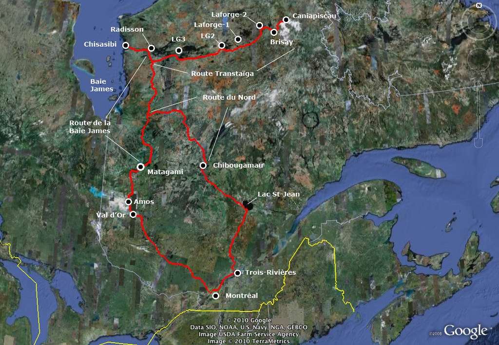
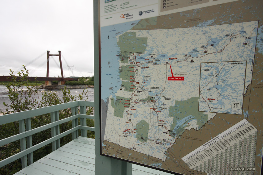
Overview map

This thread features the cream of the crop. The whole set on flickr is
here
Here goes :
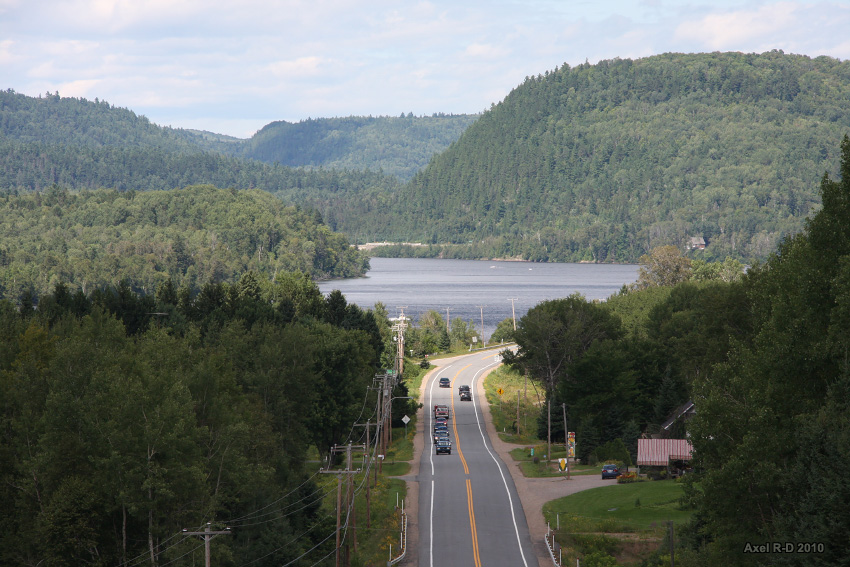
Day 1 : Leaving Trois-Rivières, QC
The road to La Tuque
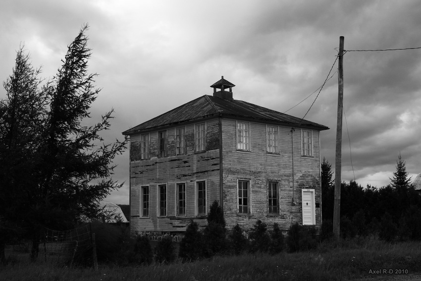
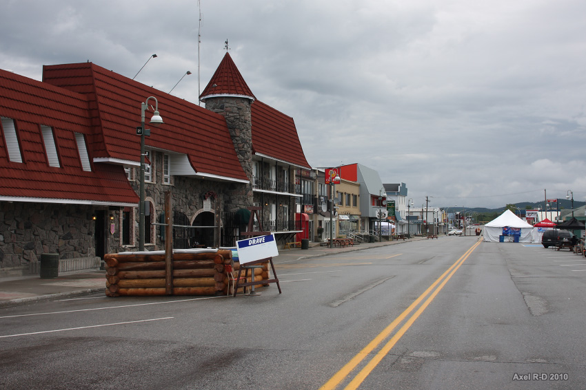
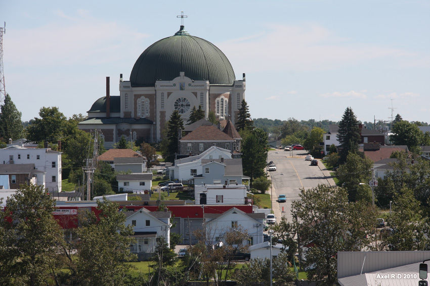
La Tuque

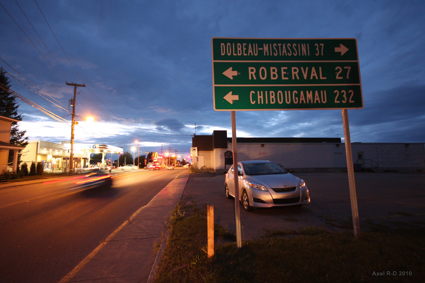
Lac-Bouchette
Arriving into the Lac St-Jean valley


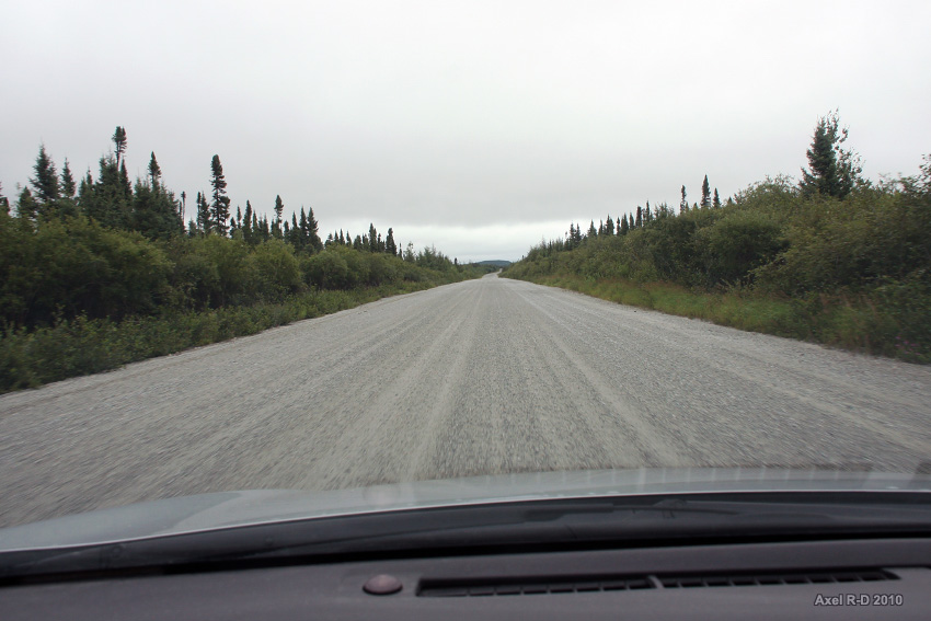
Time to leave civilization!
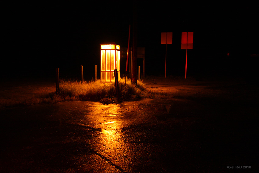
Lonely telephone booth
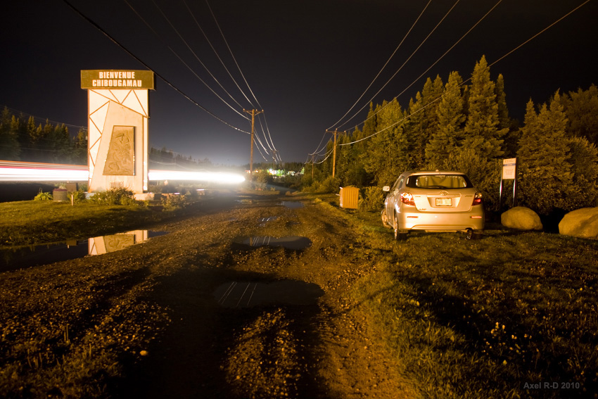
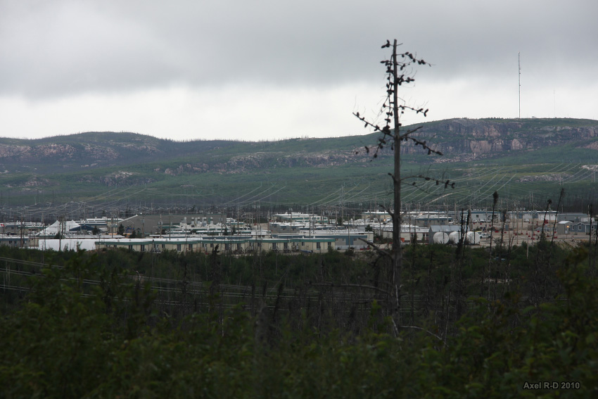
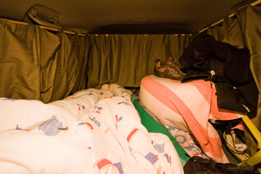
Welcome to Chibougamau, I camped there in the back of my car.
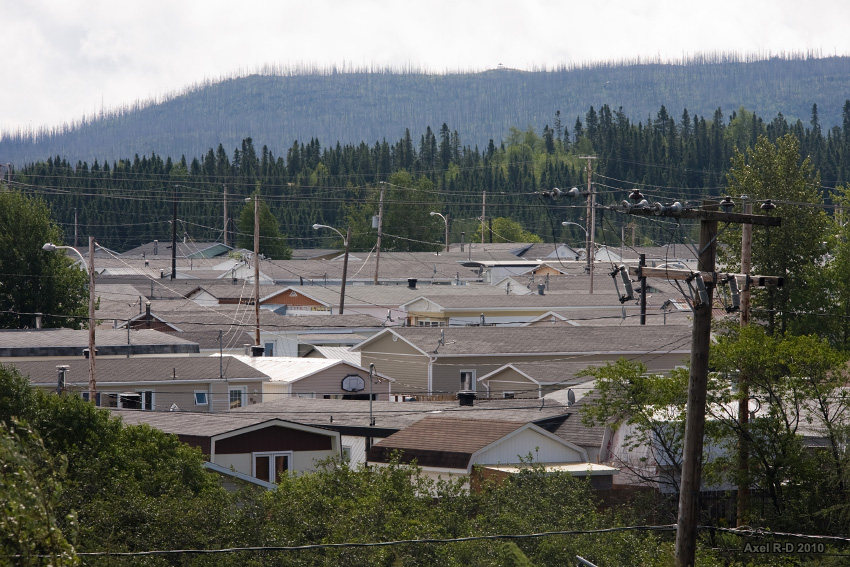
Day 2 : Chibougamau, pop.: 7,563

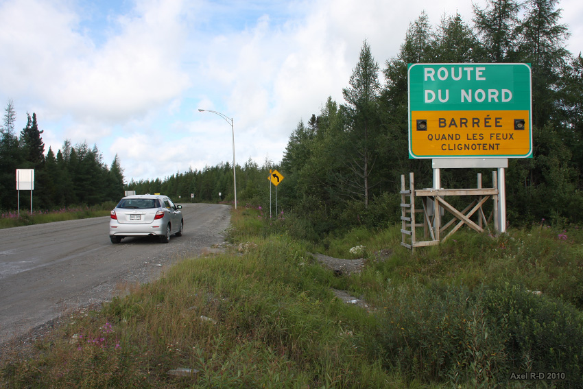
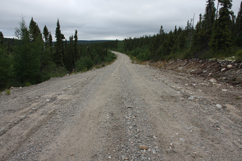
A couple of kilometres north of Chibougamau is the junction with the Route du Nord (North Road) a 406-km gravel road

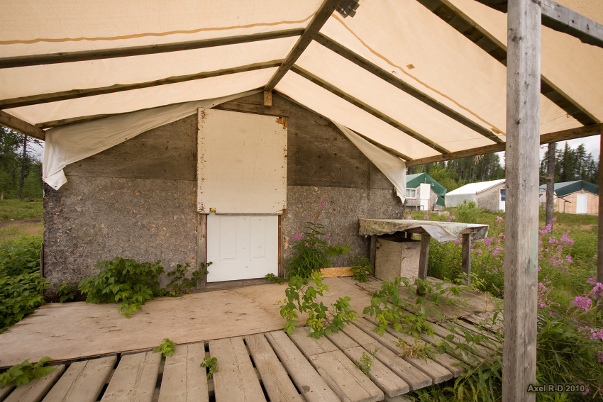
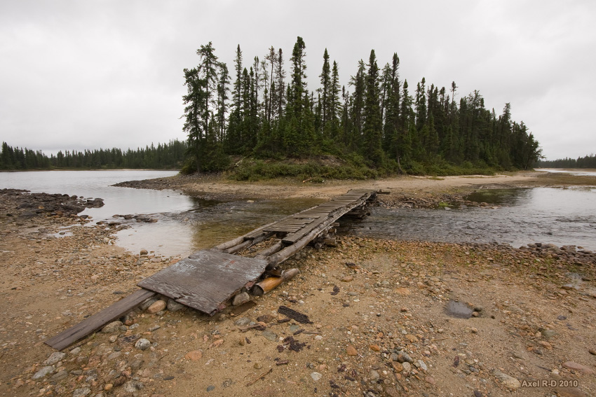
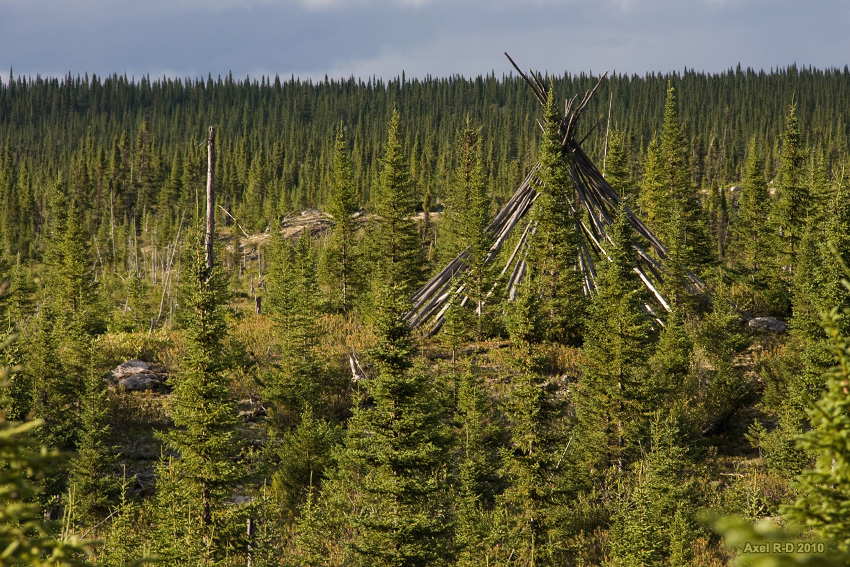
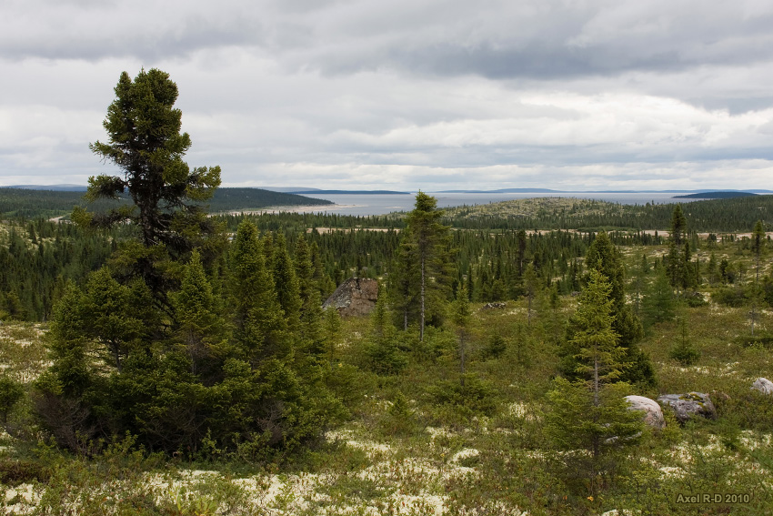
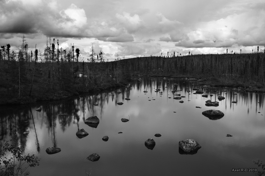
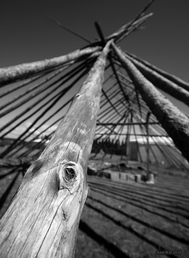
Not a soul in this winter camp site used for hunting
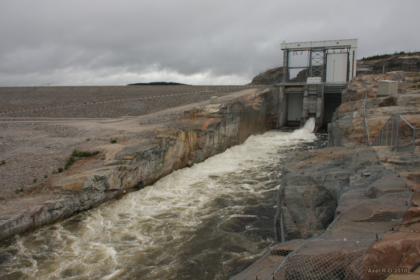
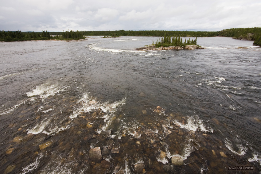
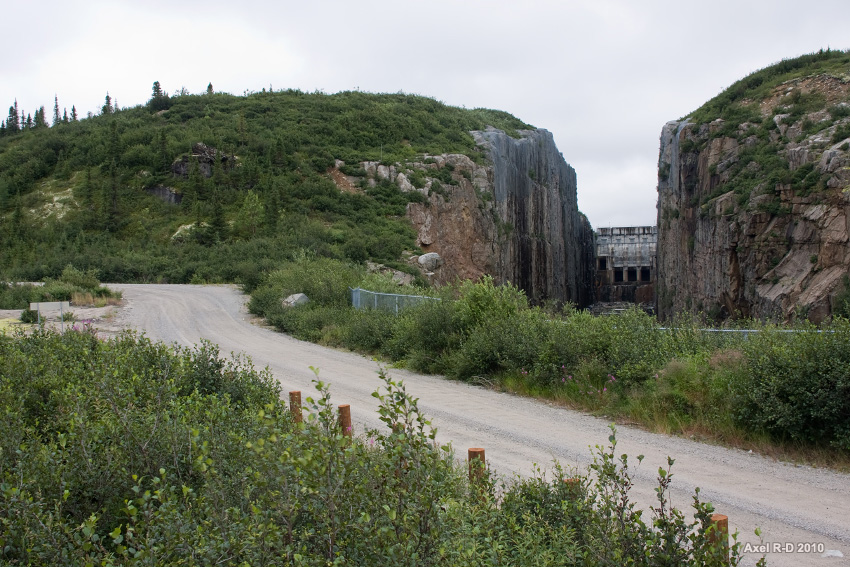
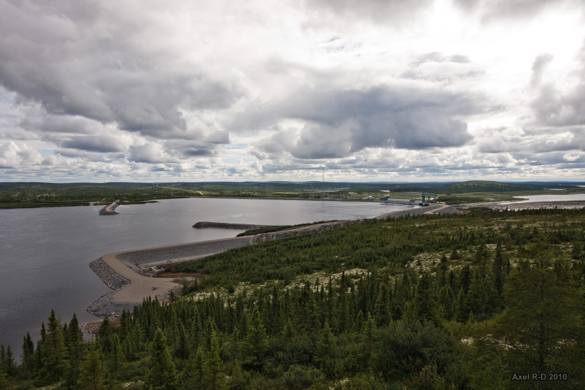
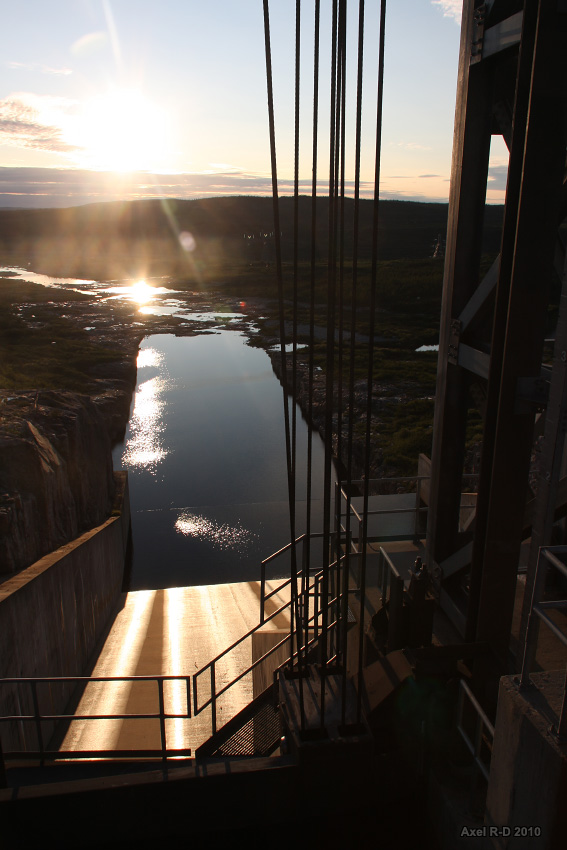
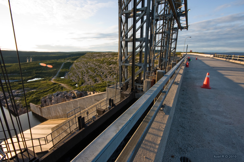
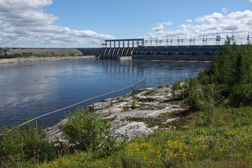
The newly built Rupert Reservoir Spillway
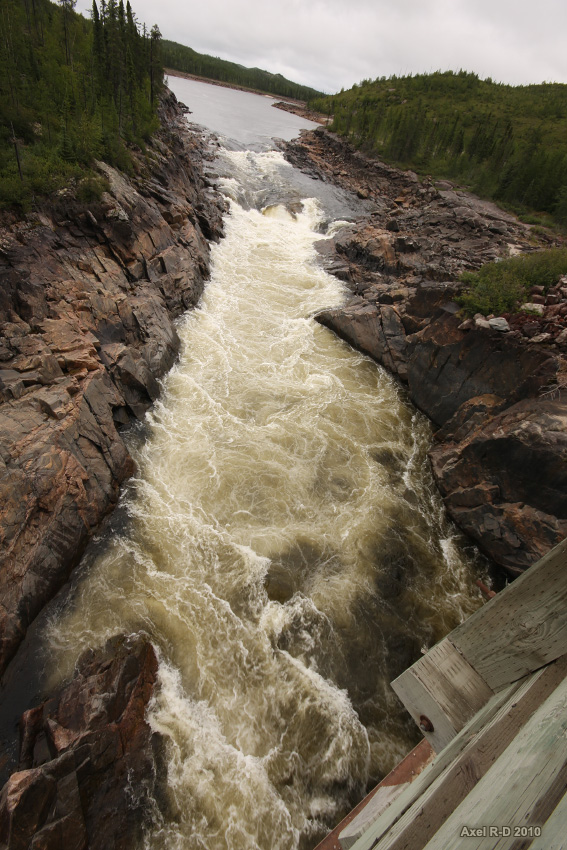
Rupert River, much quieter than before the dam was built upstream...
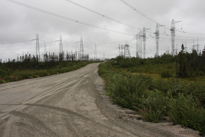
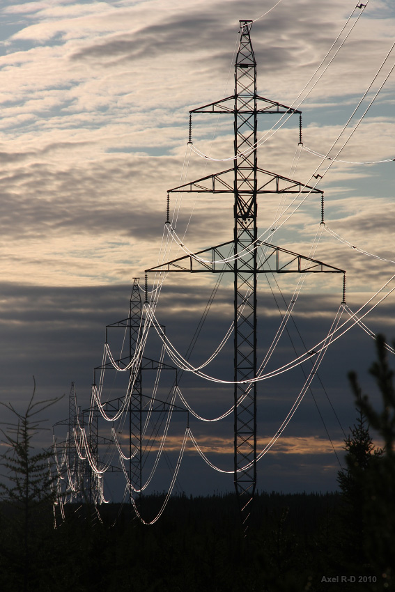
The huge Albanel substation, connected with most of the northern power stations
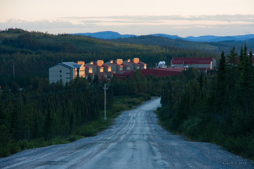
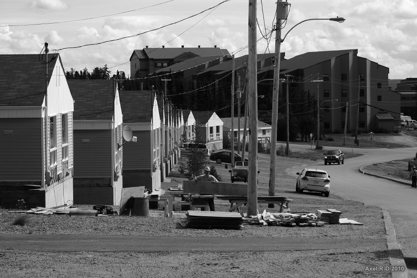
Arriving at Camp Némiscau, some sort of truck stop village in the middle of nowhere

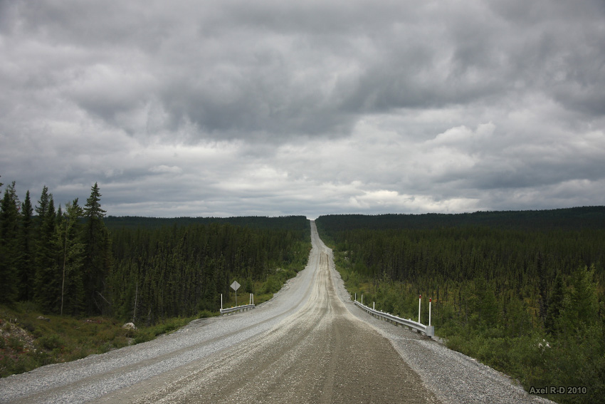
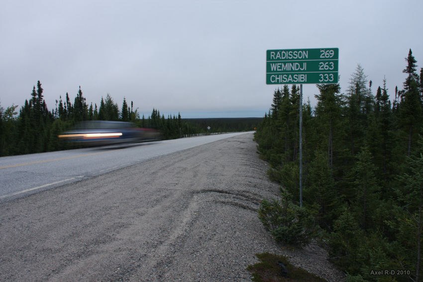
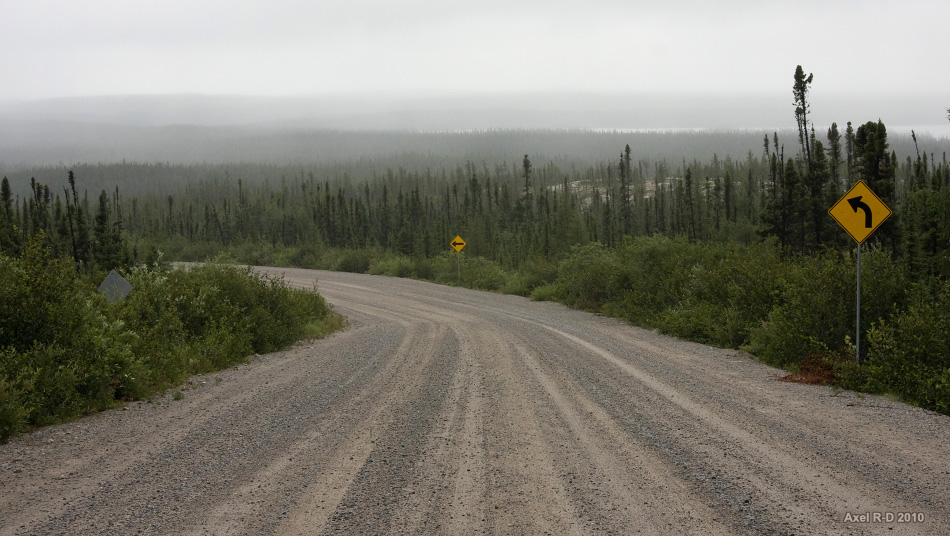
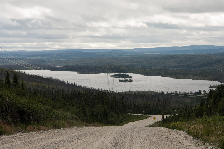
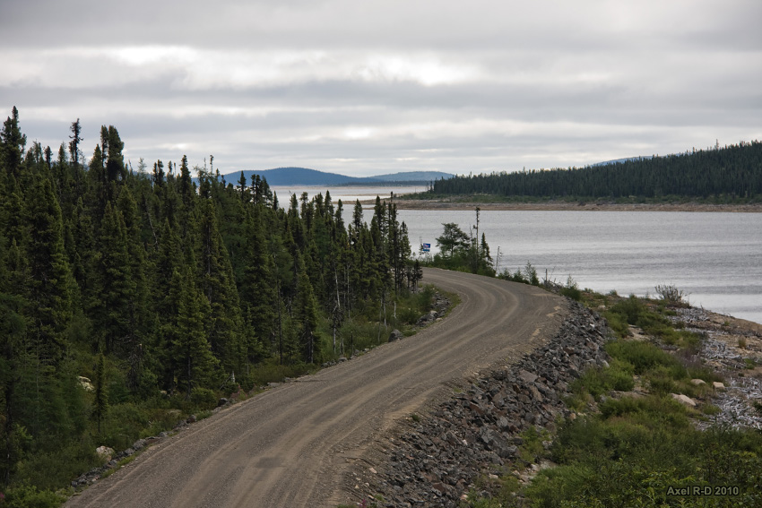
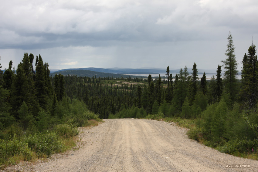
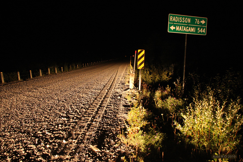
At the end of the 406 km of gravel road is the junction with the much more confortable paved James Bay Road, leading all the way up to Radisson
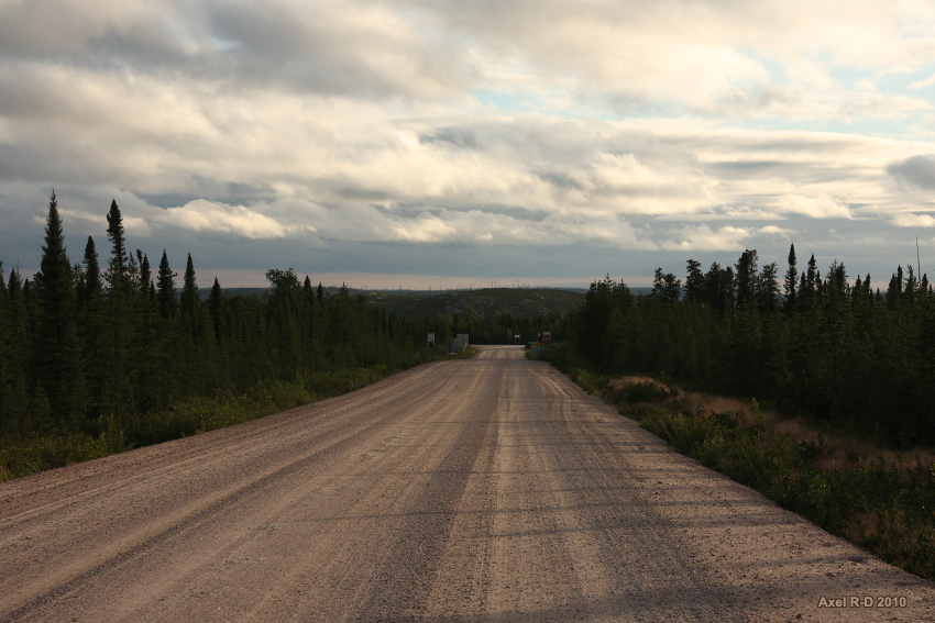
James Bay Road, taking you everywhere you'd never think of going
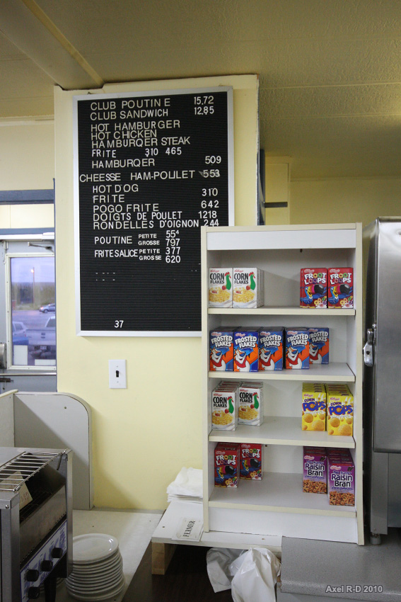
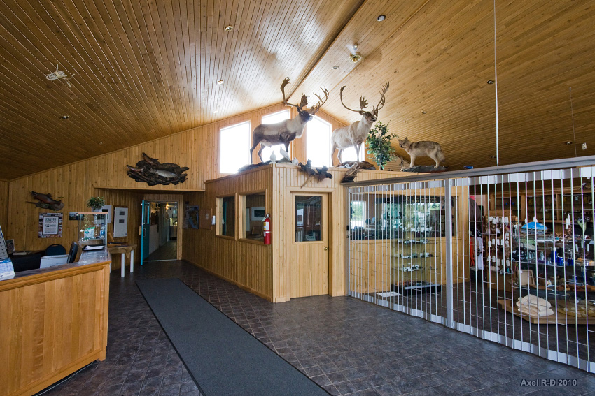
The restaurant at Km 381 service area
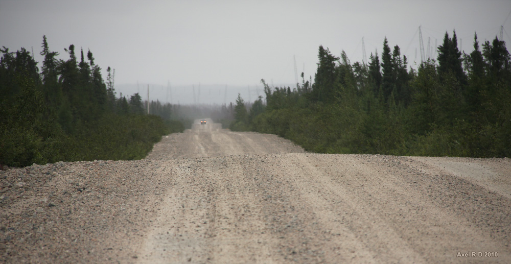
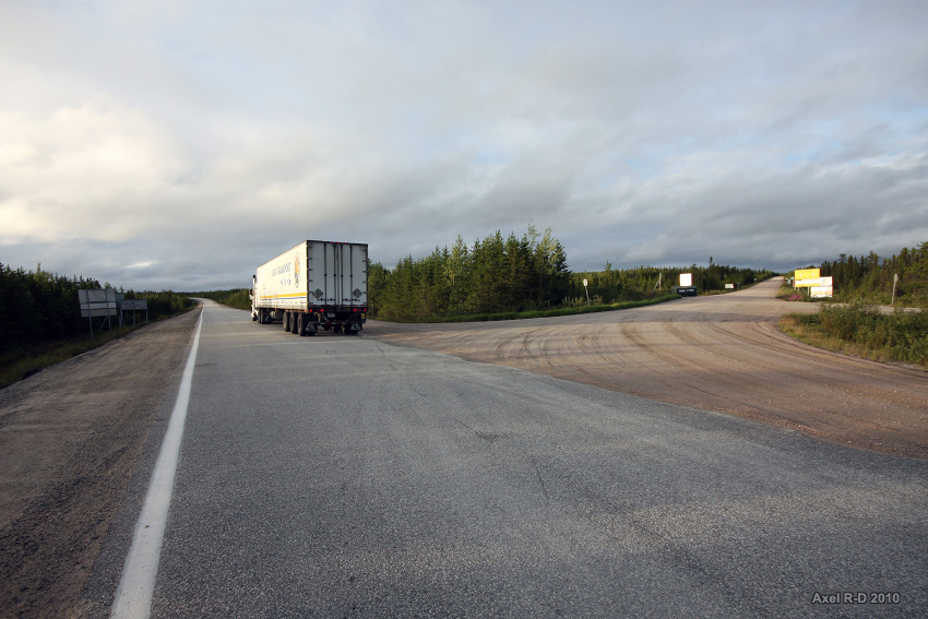
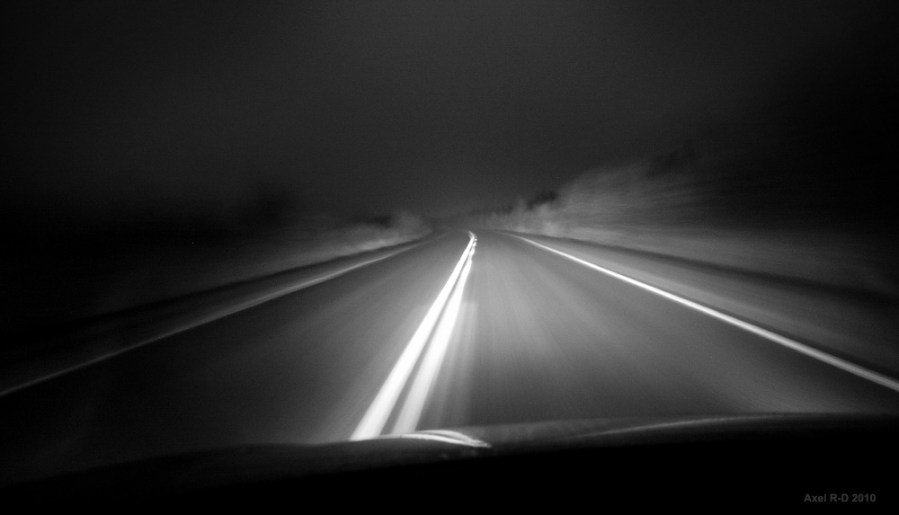
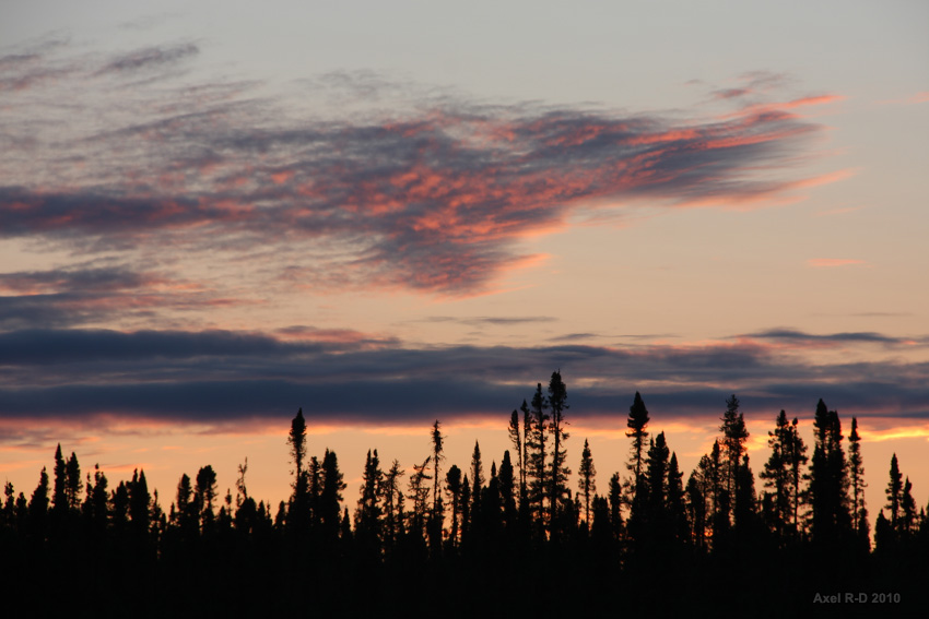
Northbound
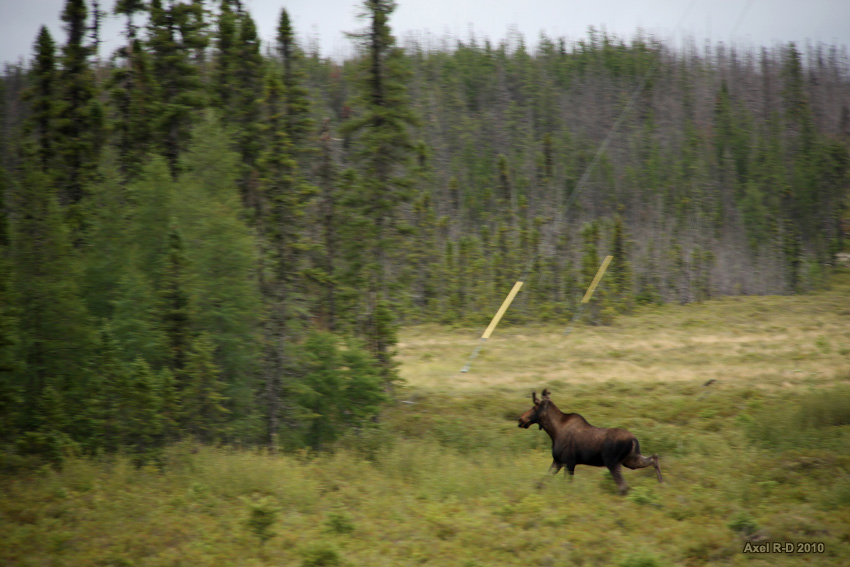
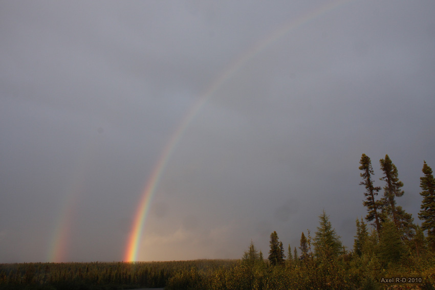
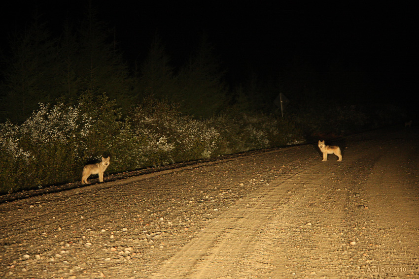
Wildlife encounters

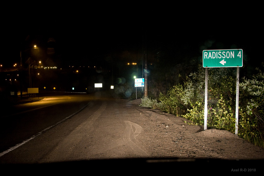
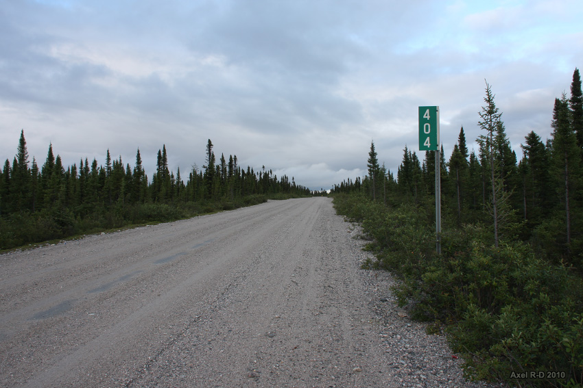
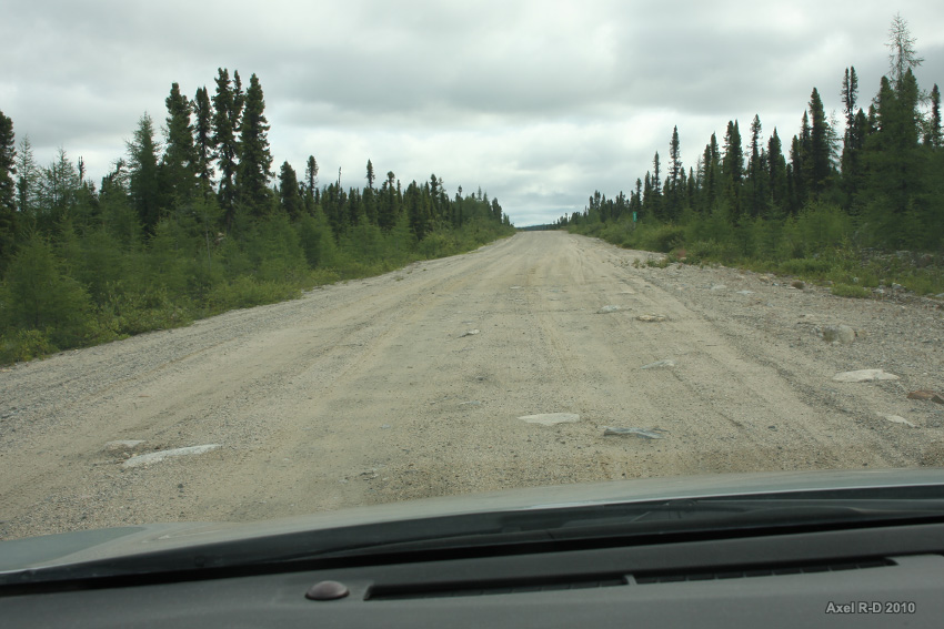
4 km, just that!
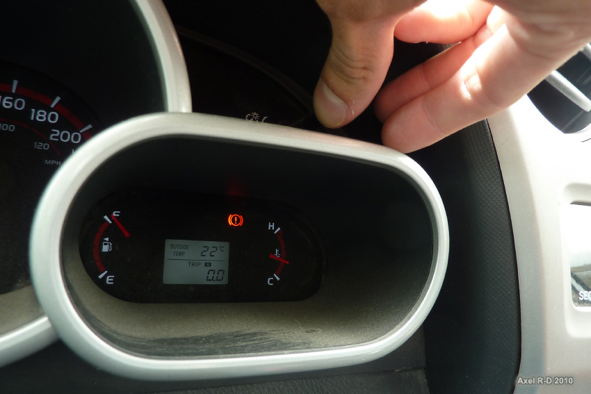
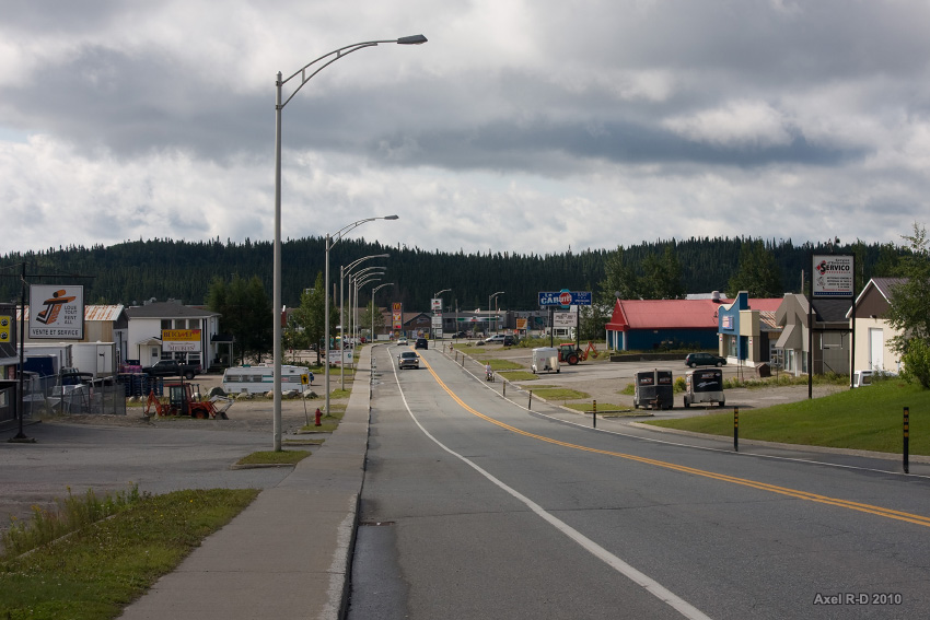
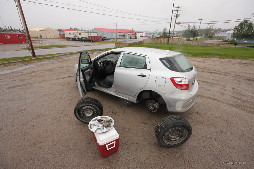
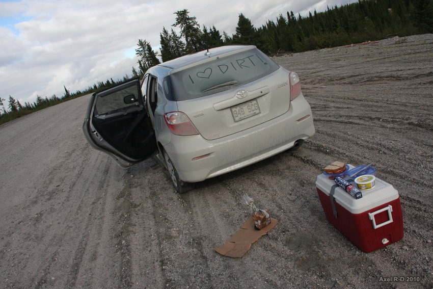
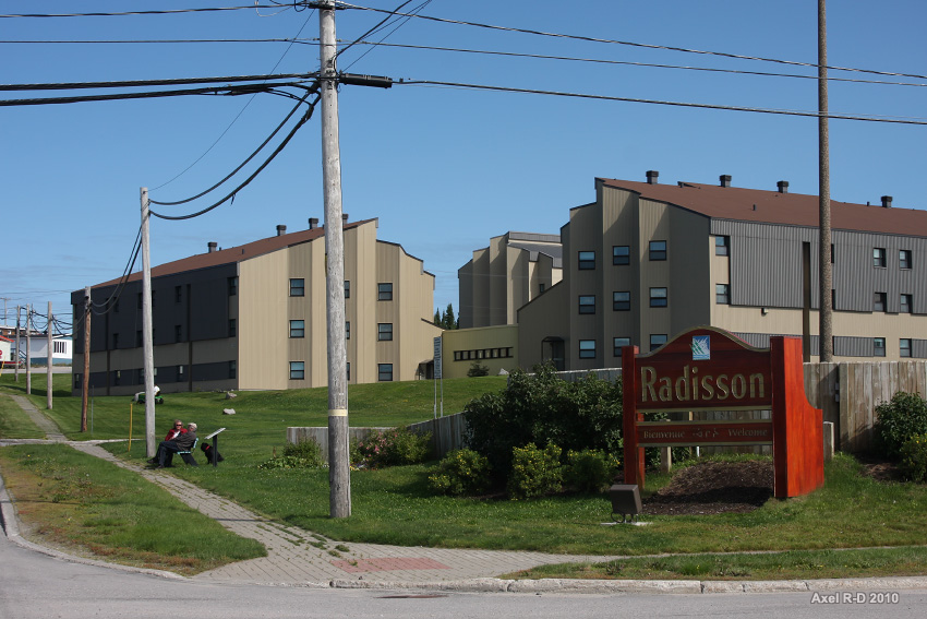
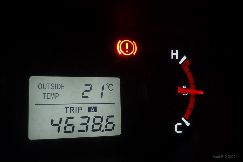
Day 3 : Radisson... I had a flat tire the day before and had to change it with on of the spare winter wheels I brought. I went to the local garage to have a new tire for the upcoming road to the end of the world!
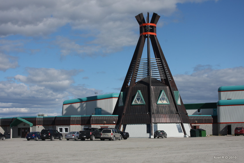
Radisson, pop.: about 300. This is as close to a skyscraper as you will get in this thread, folks!

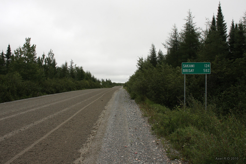
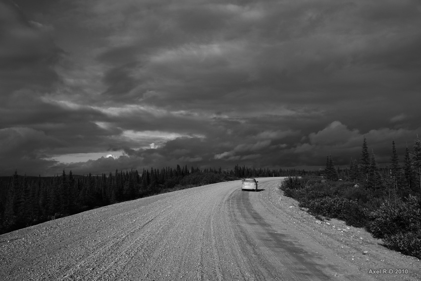
There we are, the junction with the Transtaiga Road, a dead-end 666-km gravel road leading to the Caniapiscau Reservoir. People in Radisson tried to talk me out of doing this road, but that was the main reason why i came here, so I decided to do it all the way to the end, whatever may happen!

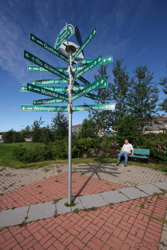
You are here we are not
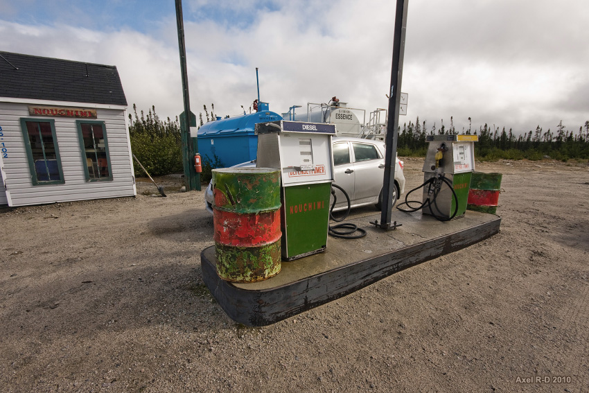
Gas available at km 286. The guy told me it was the only one along the road, so I filled it to the top, and I already had a spare 5-gallon just in case. That would be enough to reach the end of the road and back here the next day.
Lunchtime!
Then out of nowhere at km 358 came this massive lodge used by a winderness outfitter, plus unexpectedly they had gas too. Gas along the Transtaiga rd is 1.80$ per liter!
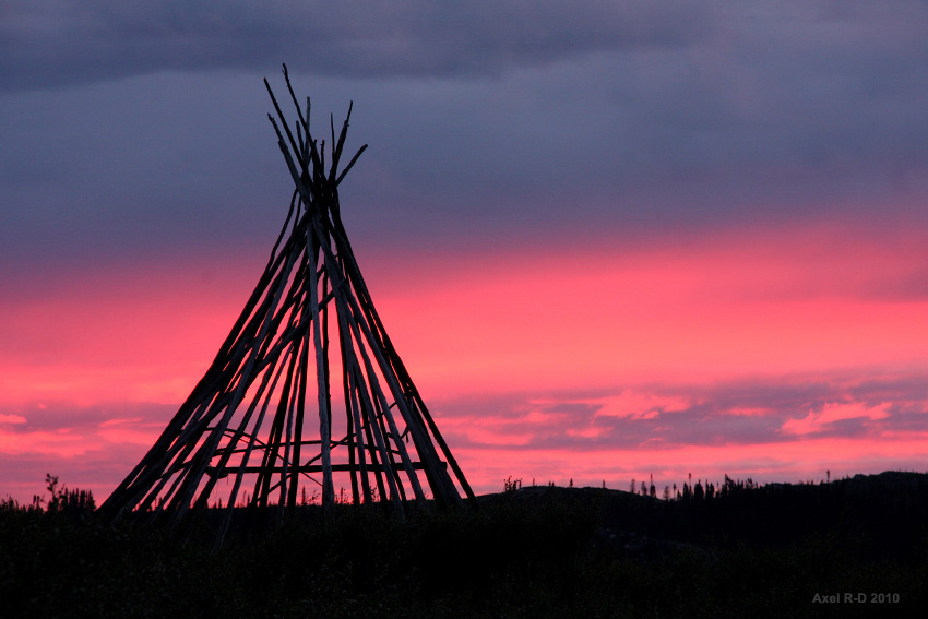
Winter hunting camps are everywhere along the road, but they are empty during summer.
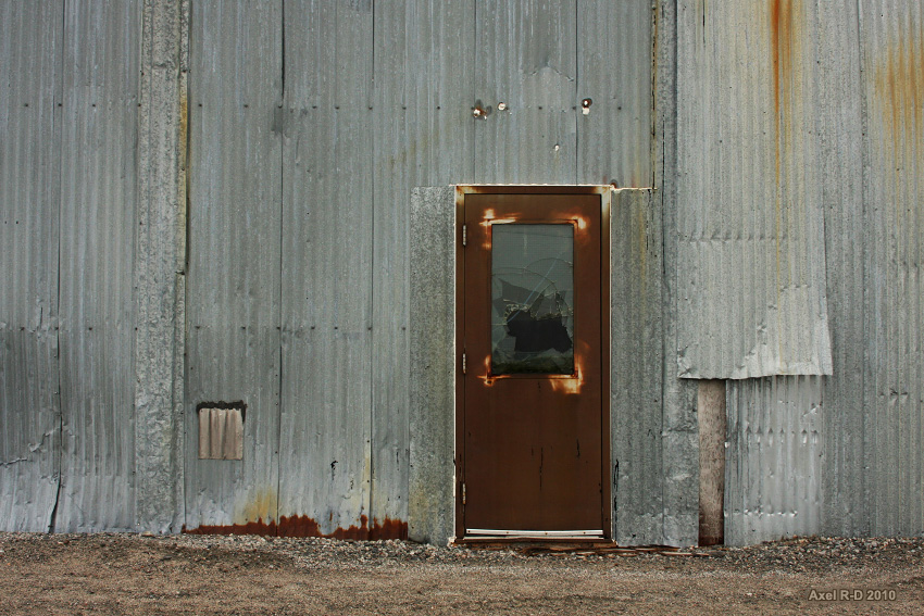
Error 404 : Nobody here!
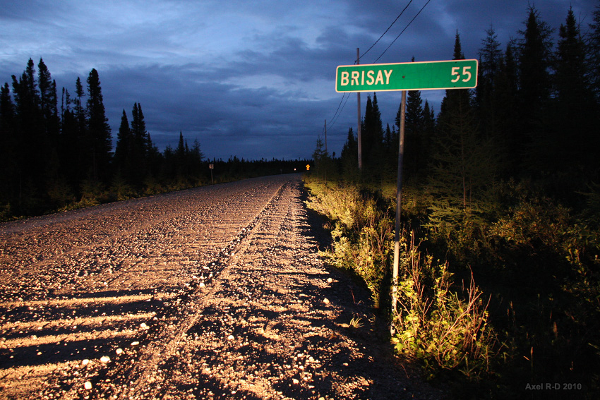
Camped at Brisay overnight, leaving the bumpiest part of the road for the next day.
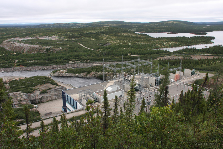
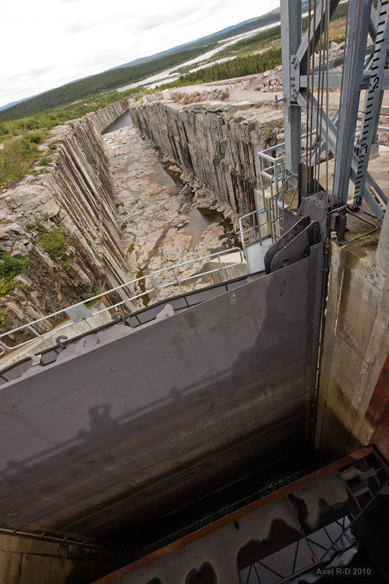
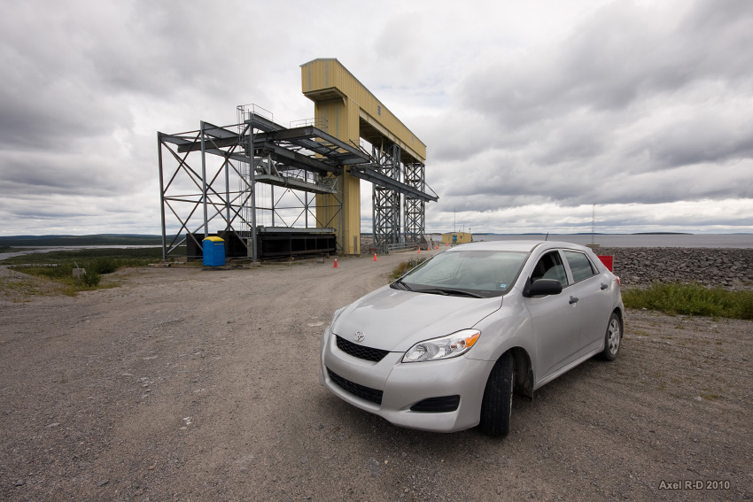
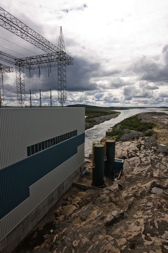
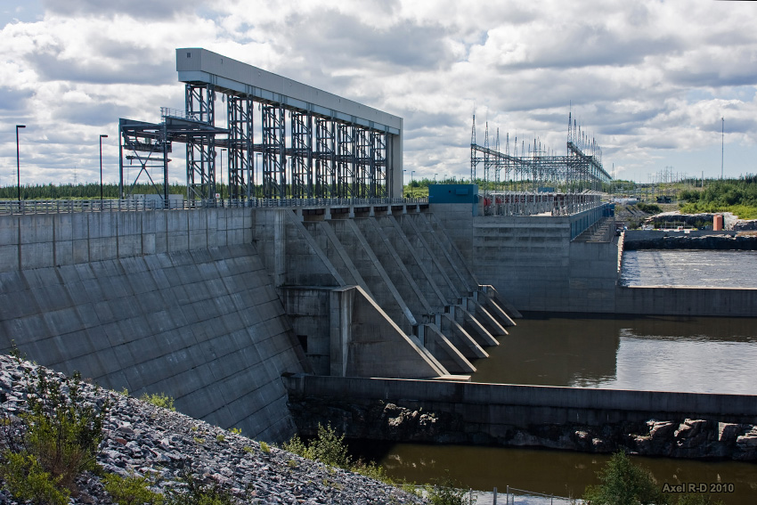
Quick tour of Brisay hydroelectric power station
Downtown Brisay?
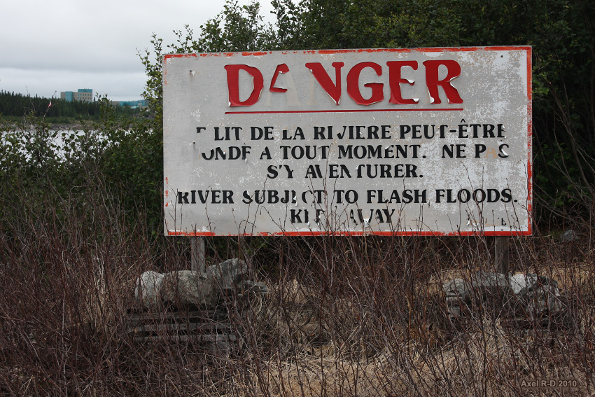
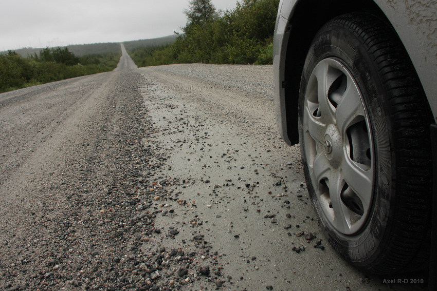
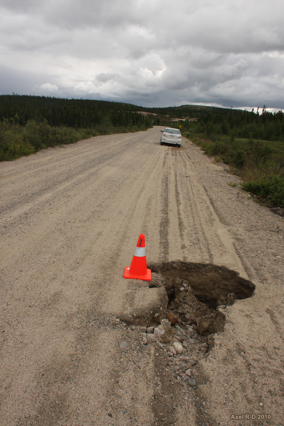
The road between Brisay and Caniapiscau (where it ends) is the most inhospitable road i've ever been down. Gravel surface is coarser and big stones litter the road, you have to steer around them and reduce speed or they can blow your tires and you don't want that to happen in this godforsaken region!
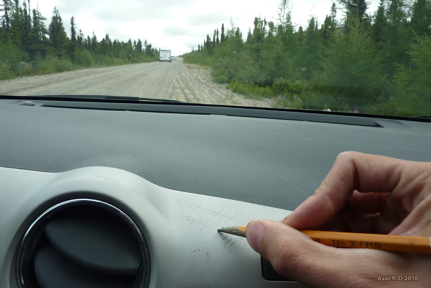
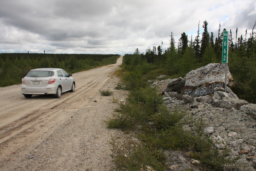
Counting the vehicles. I met 34 vehicles during the 1332 km trip on the Transtaïga road and back over 2 days, most of which were Hydro-Quebec trucks.
Just waiting to blow your tires
The last km sign. The road ends 4 km ahead
Caniapiscau welcomes you
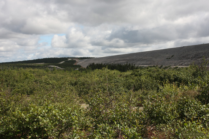
One of the huge dams
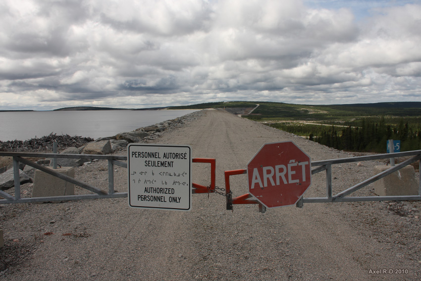
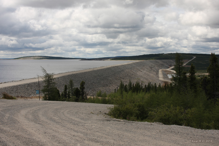
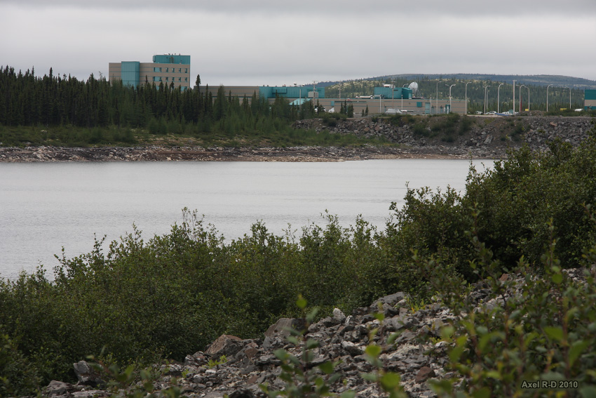
We are at the end of the road. Welcome to the Caniapiscau Reservoir Spillway!
End of the road, The next village accessible by road is Radisson at 745 km, one day drive.
The long way back
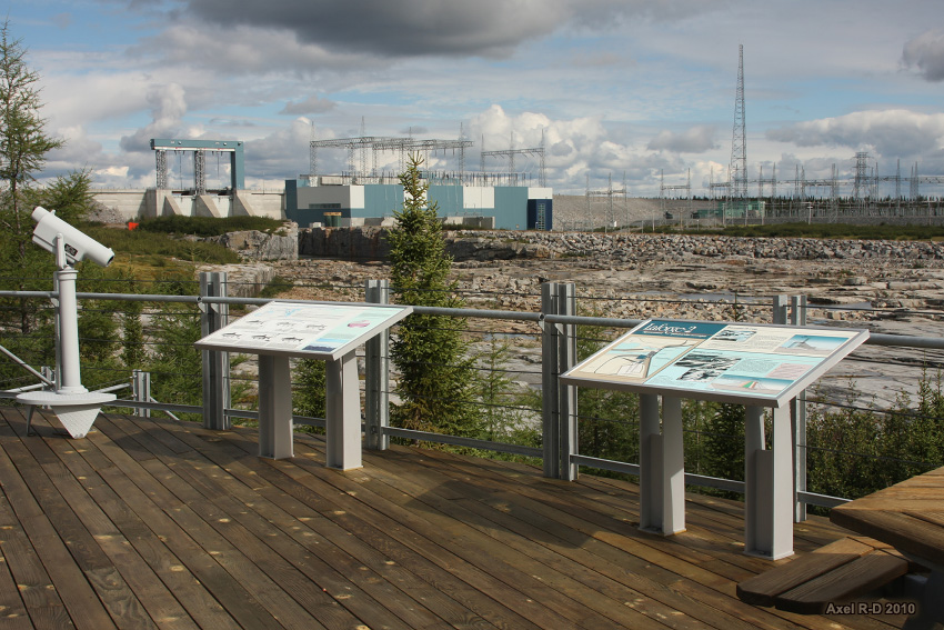
Laforge-2 hydroelectric power station

LG4 hydroelectric power station
Keyano, a small Hydro-Quebec community.
Back at the junction with the James Bay Road. I officially survived the Transtaiga road with my small car!
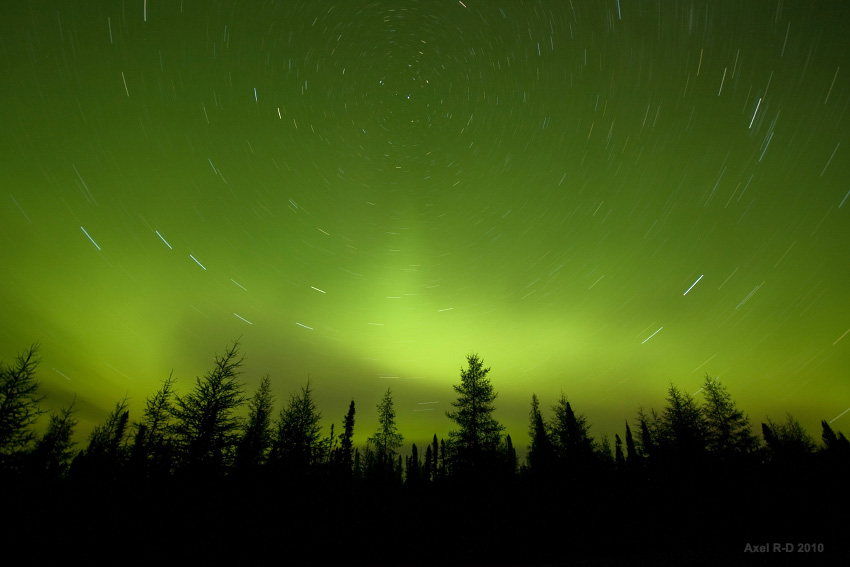
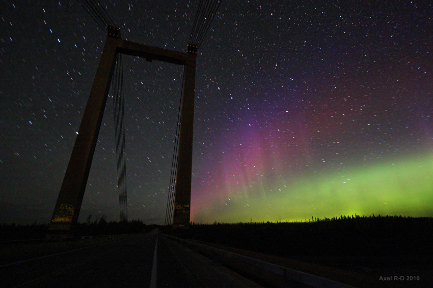
And now, let the show begin!
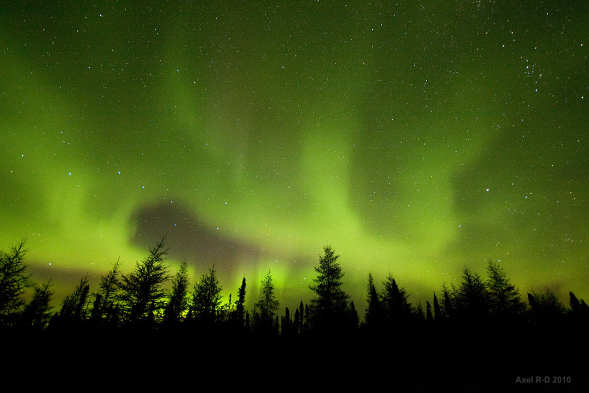

Day 5, Radisson
LG1 hydroelectric power station
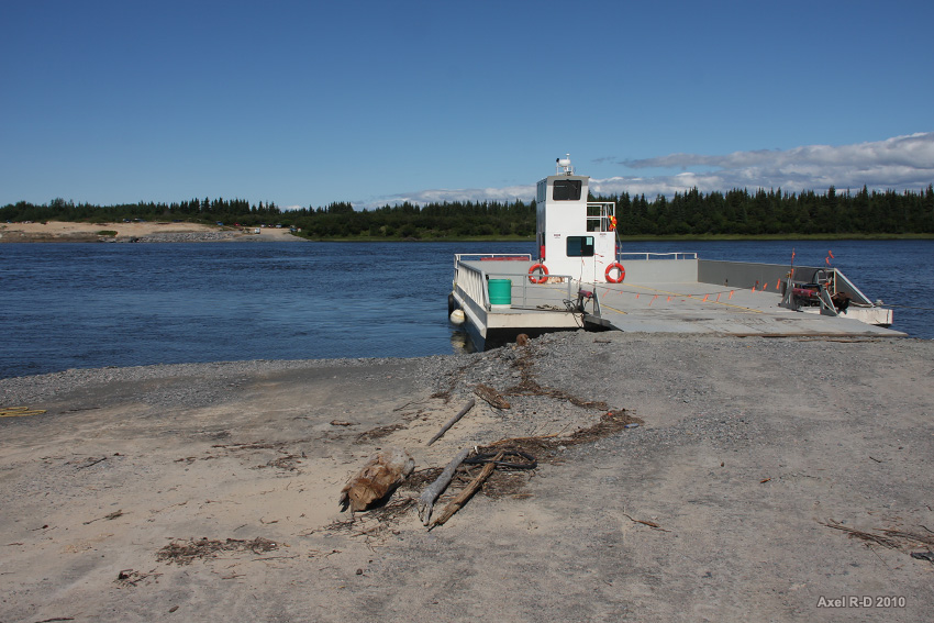
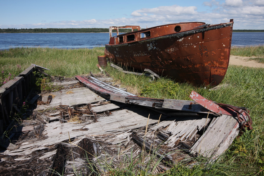
Arriving at the river crossing to Fort George Island, a former trading post of the Budson Bay Company, near Chisasibi
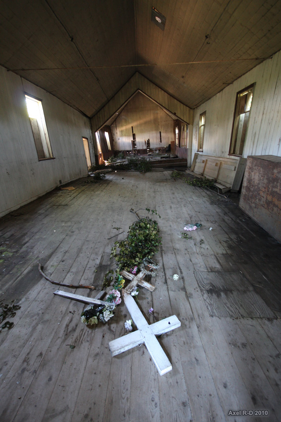
Abandoned church
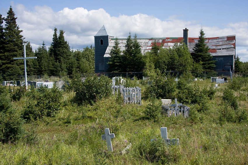
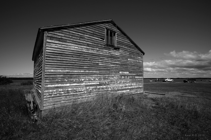
One of the two building that remains from the trading post. More stuff was being excavated behind
James bay

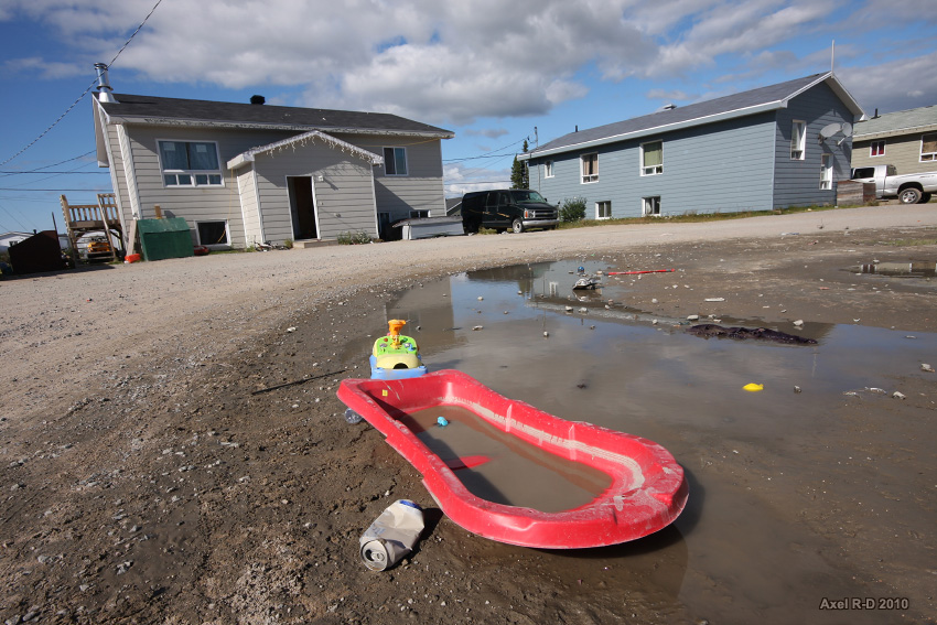
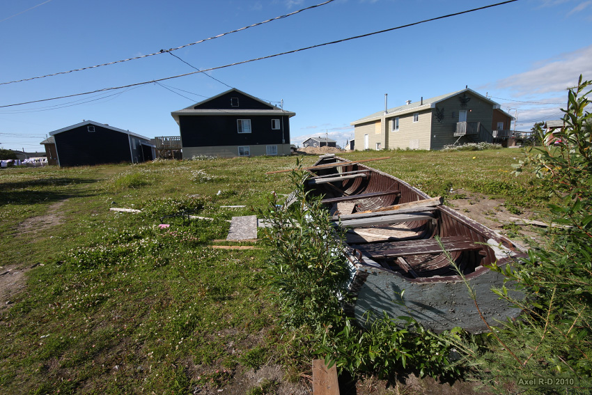
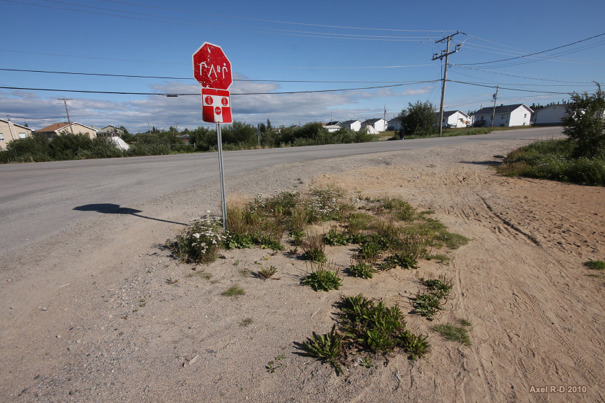
Chisasibi, pop.: 3972

Getting back south. The mighty Eastmain river bridge
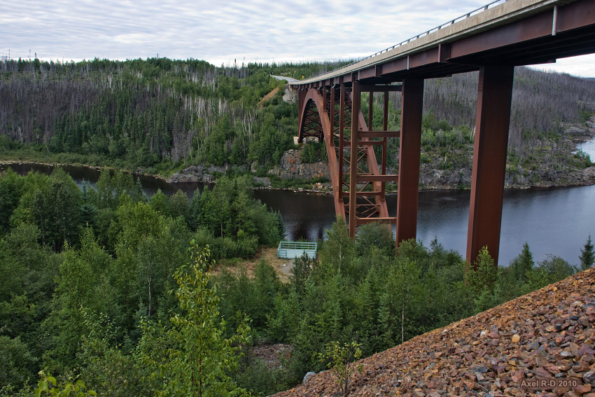
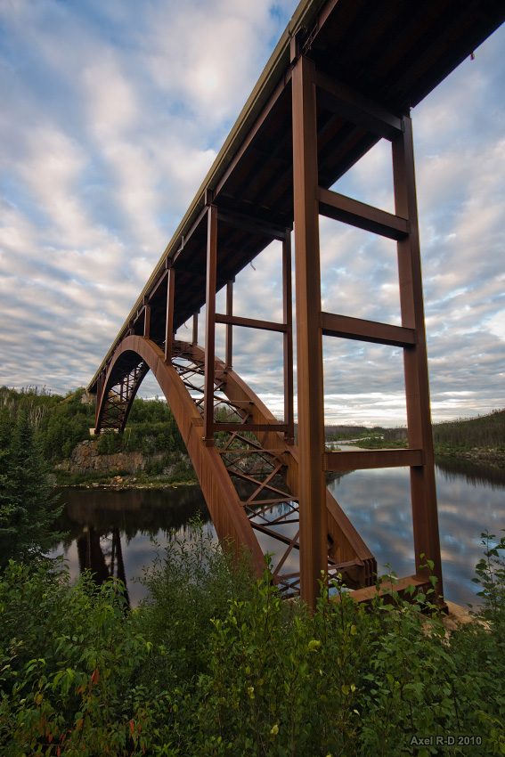
Rupert River Bridge
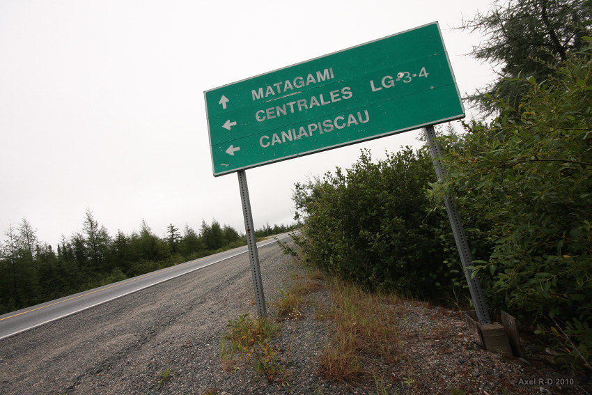
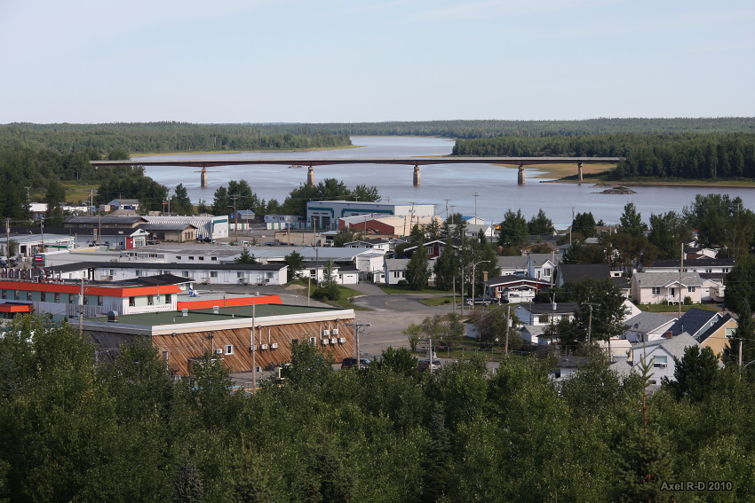
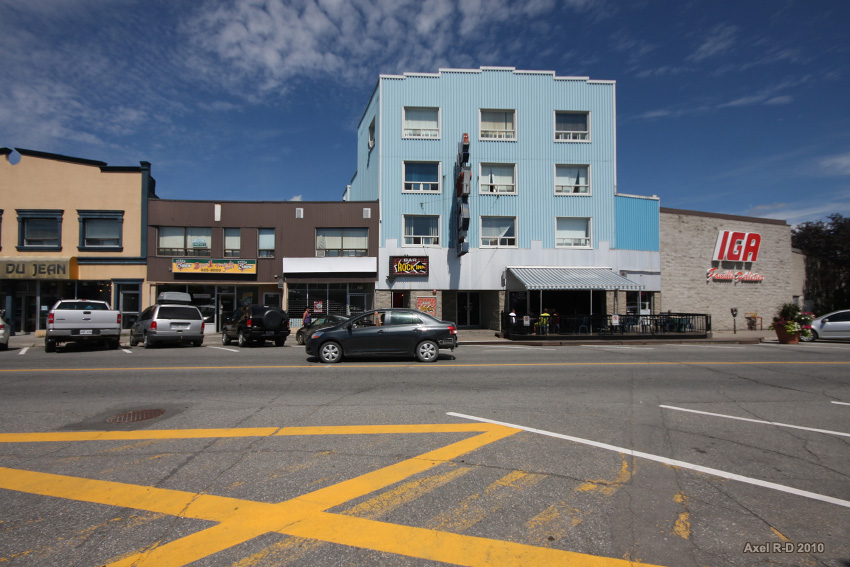
Day 6 : Matagami. Pop.: 1555
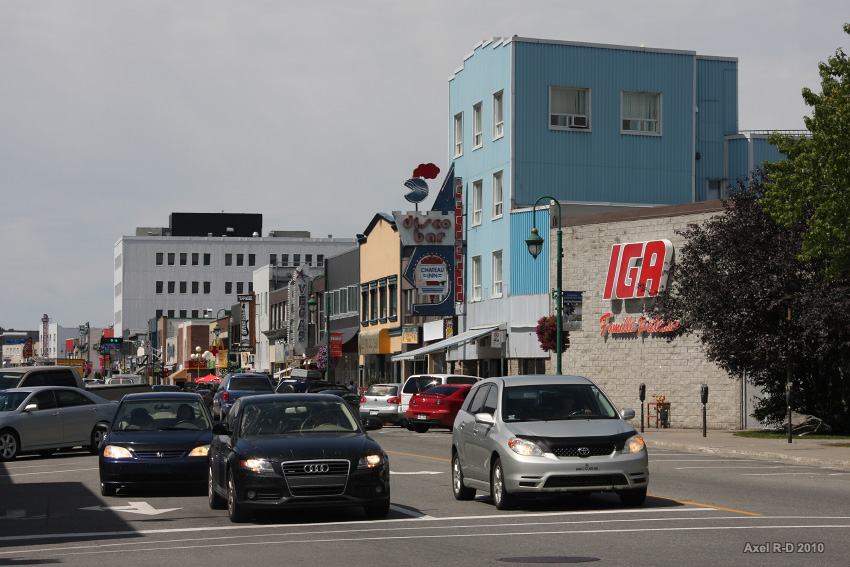
Amos. Pop.: 12,584
Val-d'Or, pop.: 31,123
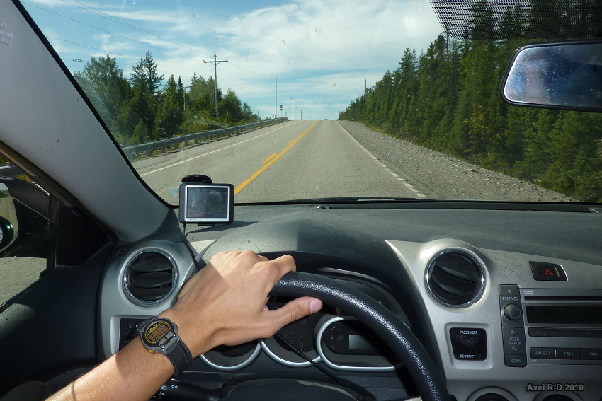
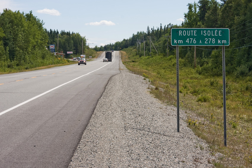
Isolated road, yeah right
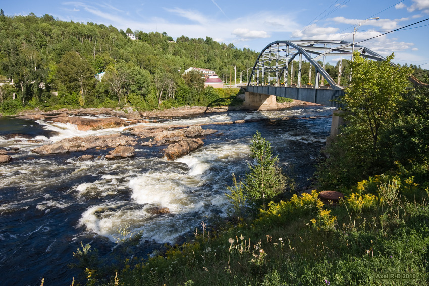
Near the village of Grands-Remous
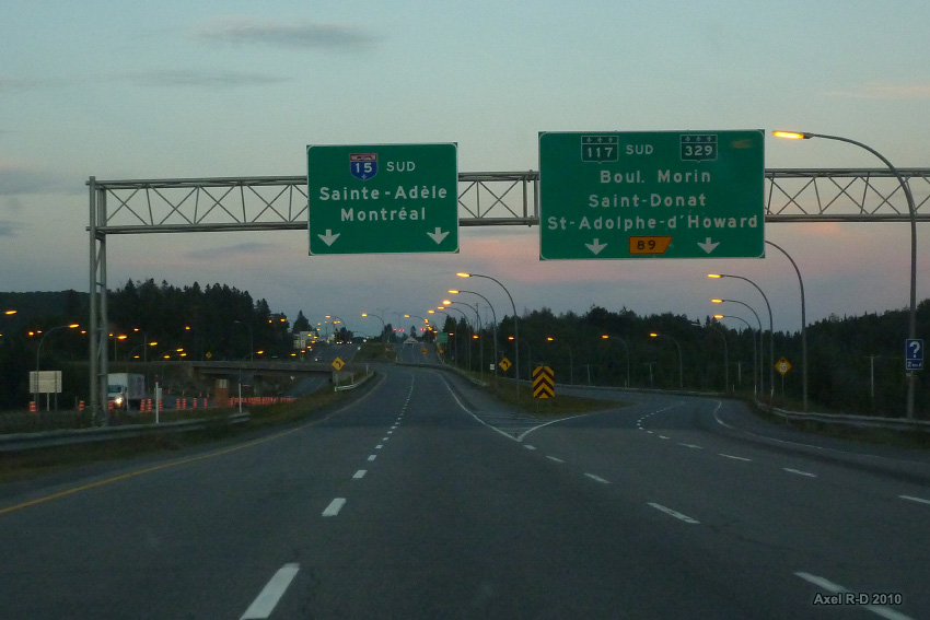
Mont...what?
The end
Thanks for watching!