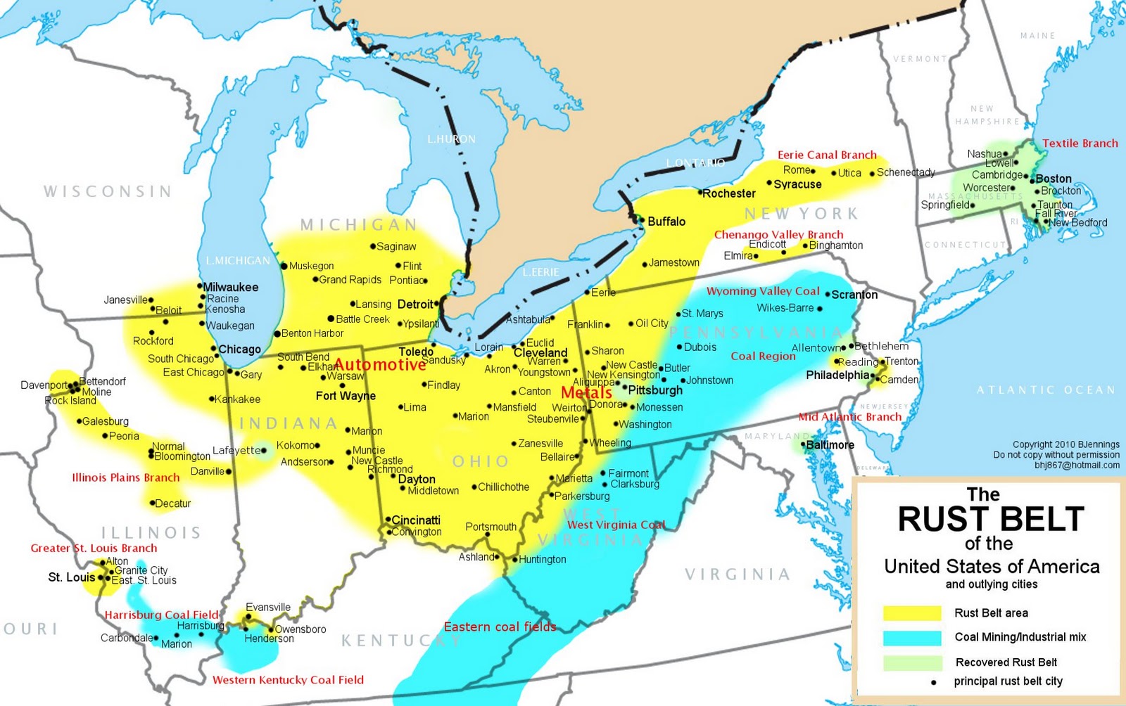
As some may know, I've been spending the last 6 years taking photos of every single historic church of the Rust Belt before they close. My question is, does this map represent the region that is the rust belt or is it more confined? My experience after living in Pittsburgh for 7 years is that most towns and cities within a 7 hour drive of here, minus D.C. and NYC are complete crap holes with some or many exceptions. To me, the Rust Belt extends from most towns and cities from St. Louis north to Milwaukee, south to Louisville and over to Utica, NY and then all of WV, most of PA, and all the towns and cities located along the Ohio River Valley. The only exceptions to the Rust Belt with population gain are certain areas of Pittsburgh, Baltimore, most of Columbus, only some hoods of Cleveland, etc. Most small towns in the entire rust belt, minus some college towns are completely destroyed. Anyways, does this map to you represent what is the Rust Belt?
 rust-belt-map1
https://beltmag.com/mapping-rust-belt/
rust-belt-map1
https://beltmag.com/mapping-rust-belt/


 Threaded Mode