Quote:
Originally Posted by BifRayRock

|
Paul Freeman's
Abandoned and Little-Known Airfields site is amazing! At the right edge of the above photo, beyond the airfield, there's a brown fence that runs left to a tall white
structure, which is the screen for the now-former Studio Drive-In, which was built in 1948 or 1949. It was located in the "Y" formed by the Jefferson/Sepulveda intersection;
Machado Road and Ballona Lane run through the site today.
However, the above photo is the Culver City Airport, which was north of Jefferson Blvd., not the Hughes Airport, which was south of Jefferson. By the way, Jefferson stops at that "Y"
intersection I mentioned, then begins again about 1/3 of a mile south, so I apologize if references to that street are confusing. The Hughes Airport is now the site of the Playa Vista
development. The Culver City Airport was north of that.
On the map below,
X = Studio Drive-In,
C = Culver City Airport, and
H = the east end of the Hughes Airport property, which ran west all the way to Lincoln Blvd (Hughes owned land west of Lincoln, too). The street south of the Sepulveda/Jefferson "Y" is all Sepulveda.
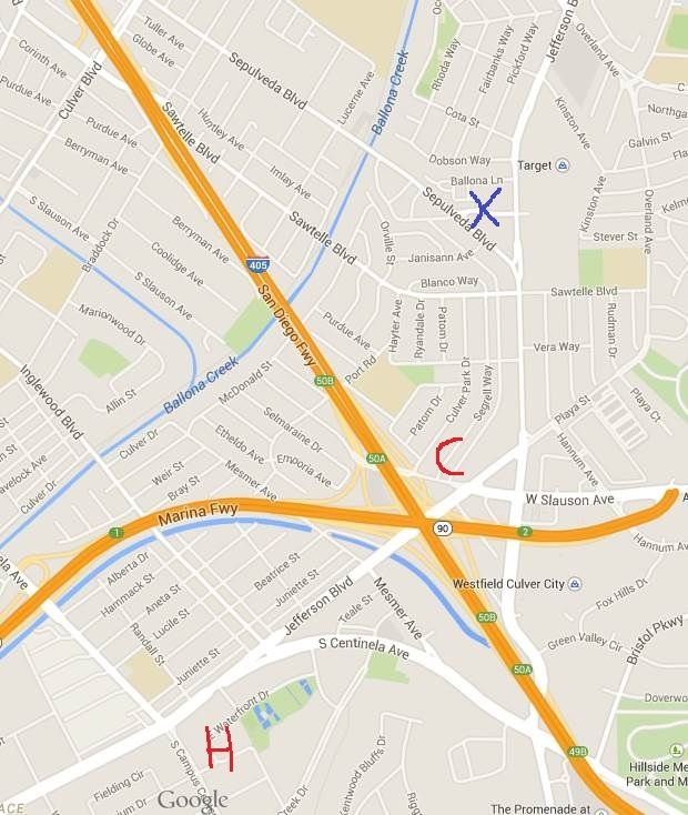
Googlemap
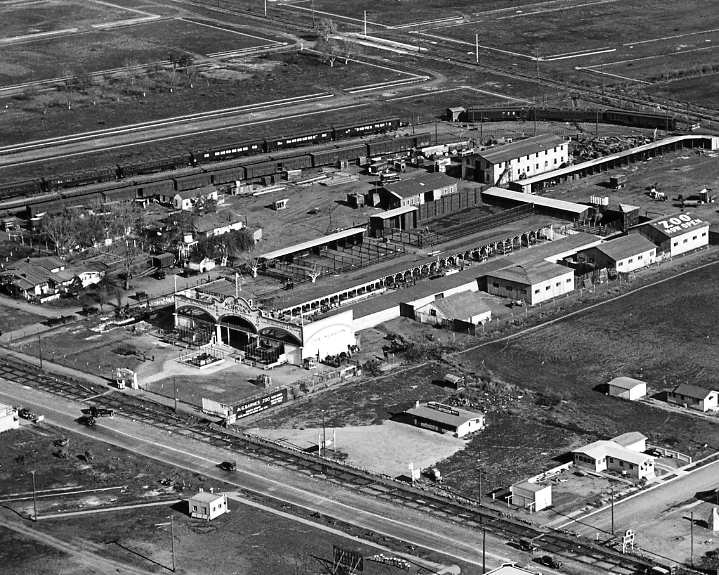
The following photo, probably post-WWII, looks east at the Culver City Airport and is also from the Freeman site. A red arrow points to some kind of design on the roof of a hangar.
In the top photo, the largest building (dark gray) also has the same design on the roof. The size and orientation of the other buildings in both photos also match.
The road behind the row of hangars at the airport is Jefferson. Sepulveda is harder to see, but it runs left to right near the top of the photo, just beyond the far edge of the airfield.
The road coming down from the upper right corner is Slauson Avenue.
Beyond the upper right corner of the photo was the Fox Hills Country Club (1926-69). The clubhouse there was designed by Sumner P. Hunt, yet I've never seen a good photo of it.
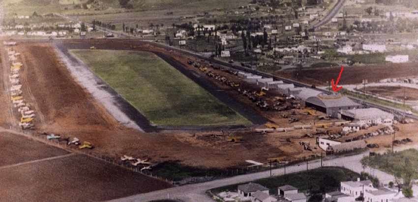
Larry Leaman photo at
http://www.airfields-freeman.com/CA/...htm#culvercity


 Prev
Prev


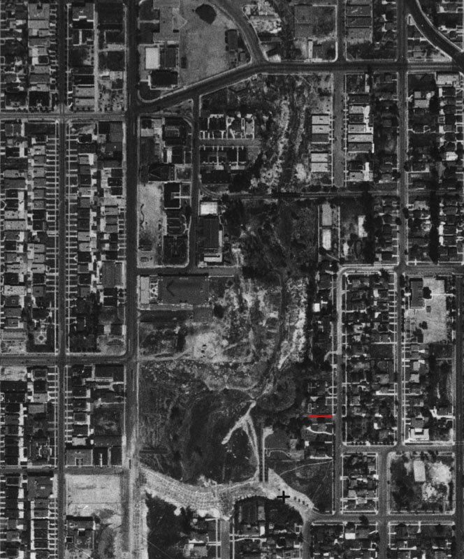
 Don't see any obvious airstrip evidence in recent area photos - yet.


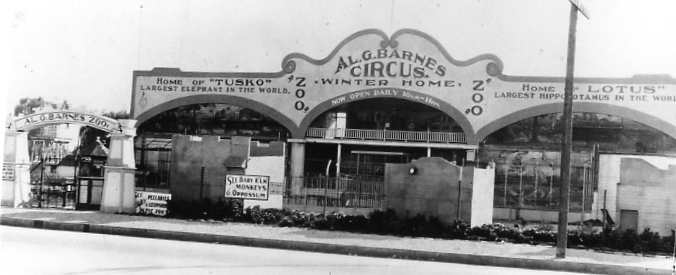
 -- as it appears in later pics.

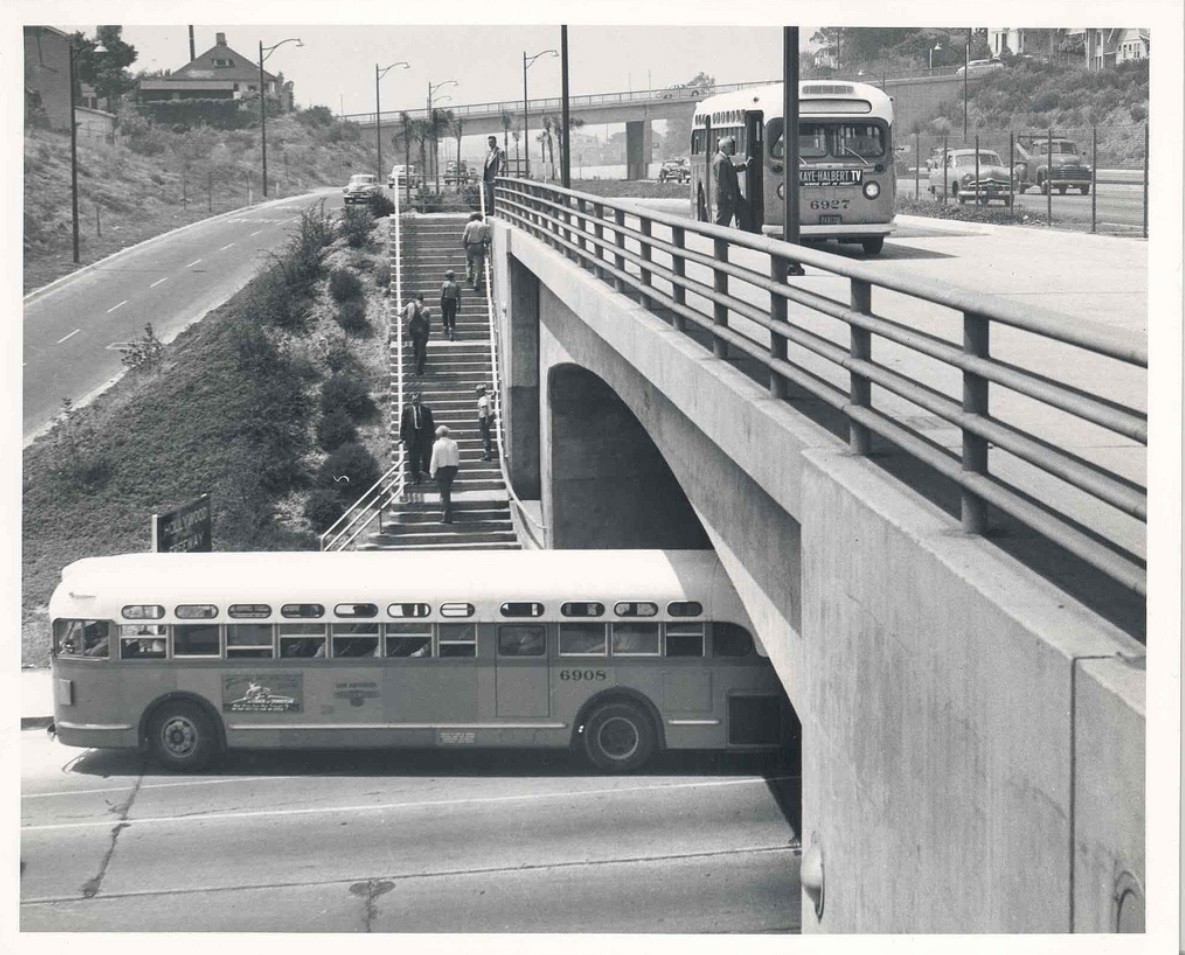
 https://paradiseleased.files.wordpress.com/2012/05/00064720.jpg[/URL]


 Thanks Wig-Wag. I appreciate the help.


 Linear Mode
