Fire all Aldermen. Burn city hall to the ground in a fit of insanity. Including the plans to the
Peace Bridge
Huge airport. Designed like Singapore/Narita/CDG/Seoul. Spotters deck with complete view of apron and taxiways. Rename 'Ralph Klein International Airport'. Relocate airport to better location, redevelop current YYC location as mixed use area.
New Calgary tower, tallest building in the world, subsidize the cost to go up to the viewing deck. (Free)
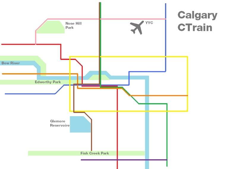
Scrap the Duewags because they all smell horrible. Re-route West LRT To Mount Royal College. Put D60lfr on 72/73 routes. Institute Beltliners LRT Plan.
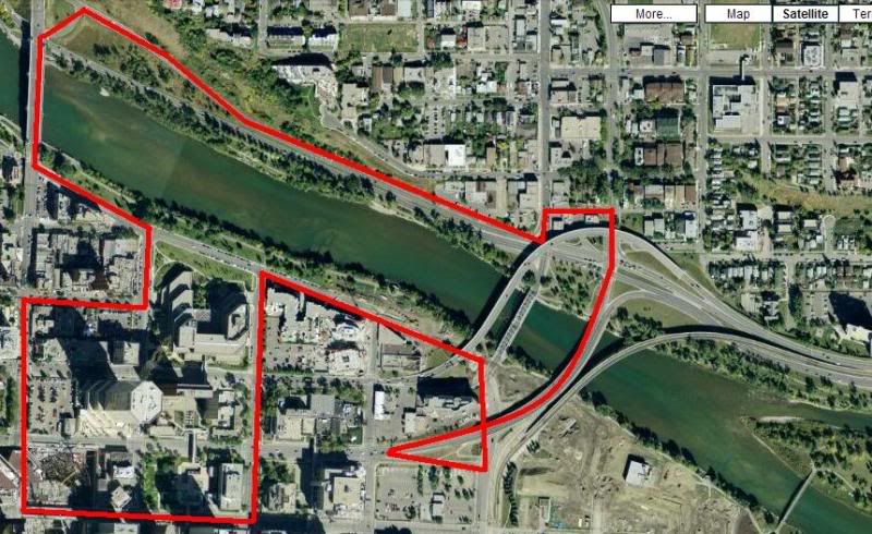
New Saddledome. Some where closer to Downtown, like say:
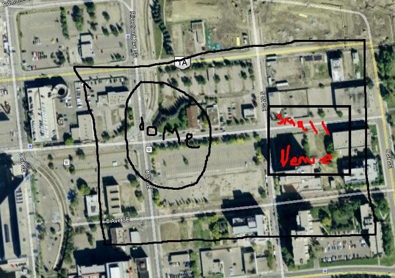
Designed like the new Consol Energy Center. Seating in the 18-24,000 range. Concerts in the 15-22,000 range. New name, I always loved Canadi>n Airlines Saddledome. Smaller venue built beside to hold between 6-10,000 people for concerts, comedy tours, smaller bands, etc. Sort of like the Nokia Theatre in Los Angeles, only a little bigger I suppose. Maybe RIM Center, or BlackBerry Theatre or something like that.
Repave every single road in Calgary, no pot holes.
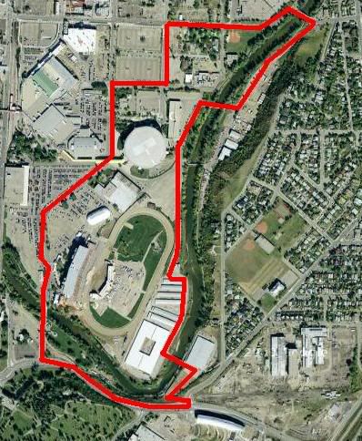
Buy out the Tsu Tina Reserve. Ring road. Plus Race Track development. Something like Laguna Seca or the like. Could host Indy or F1 events. Driving school, track days, etc.
Thats just my beginning plans...oh to dream

Edit - Purchase all rights to Canadi>n Airlines. Purchase all rights to WestJet. Create new Airline that will rival Singapore/Emirates/Korean/Lufthansa. All Boeing fleet, including 787, 748i, 737 replacment. Influence Boeing to dive in the 80-100 seat market. Purchase all remaing DC10/MD11/707 Air craft, refurbish and put into service. Introduce modern version of the Proud Wings livery.
Create a brand new Science Center.
New confrence facilities.
Purchase RIM and move entire company to Calgary. Brand new sky scraper for RIM.
Purchase Big Rock Brewery. Enjoy said beer.


 Prev
Prev


 Linear Mode
