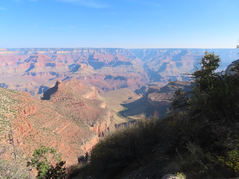
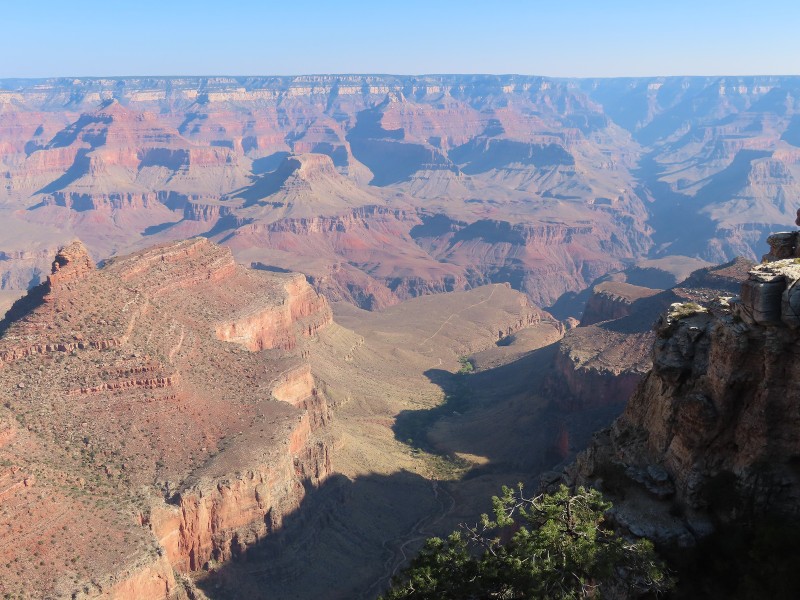
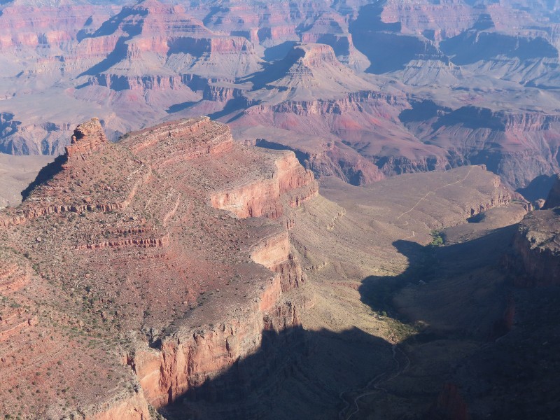
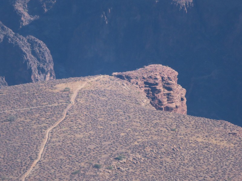
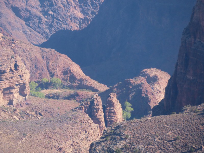
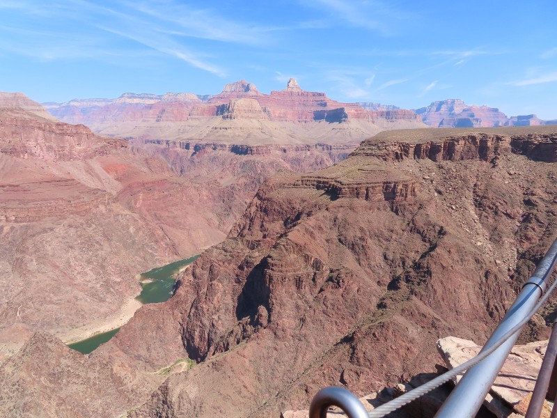
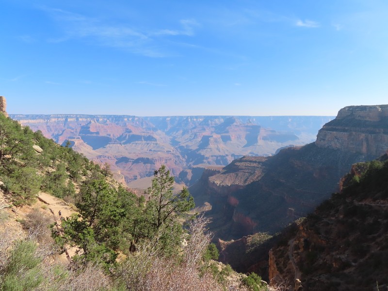
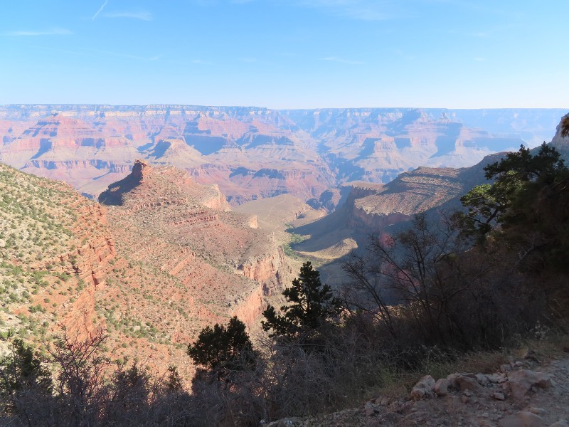
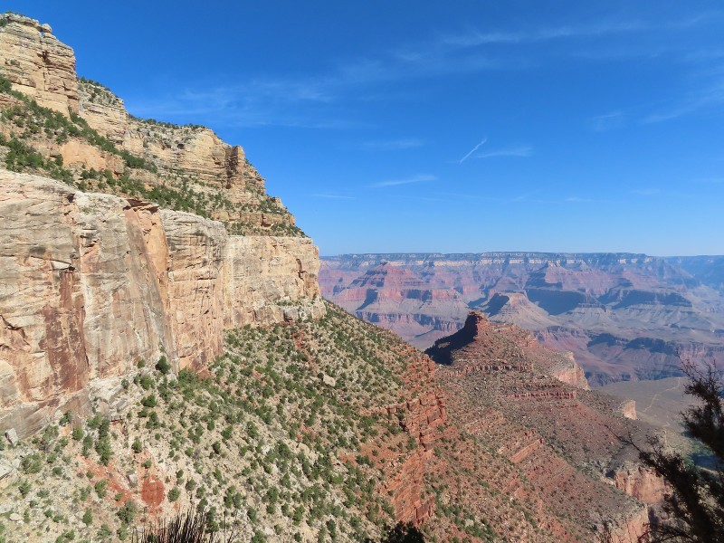
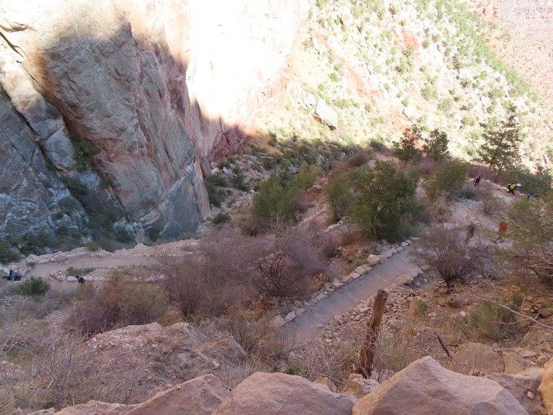
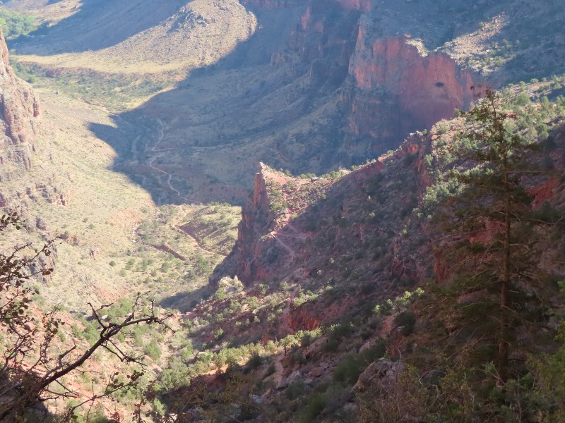
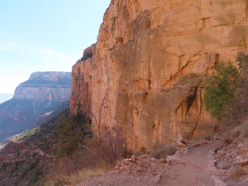
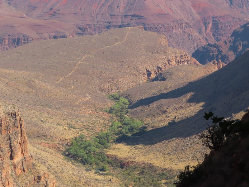
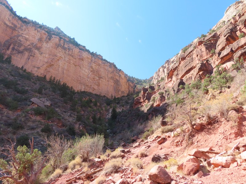
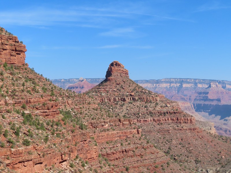
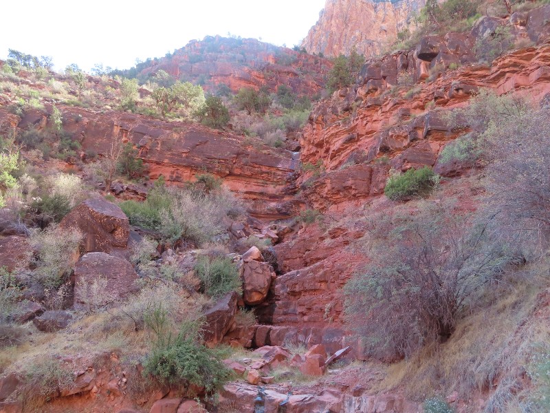
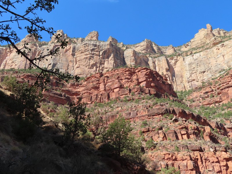
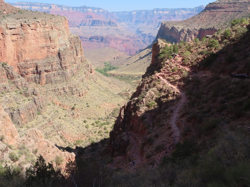
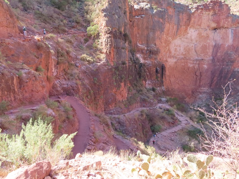
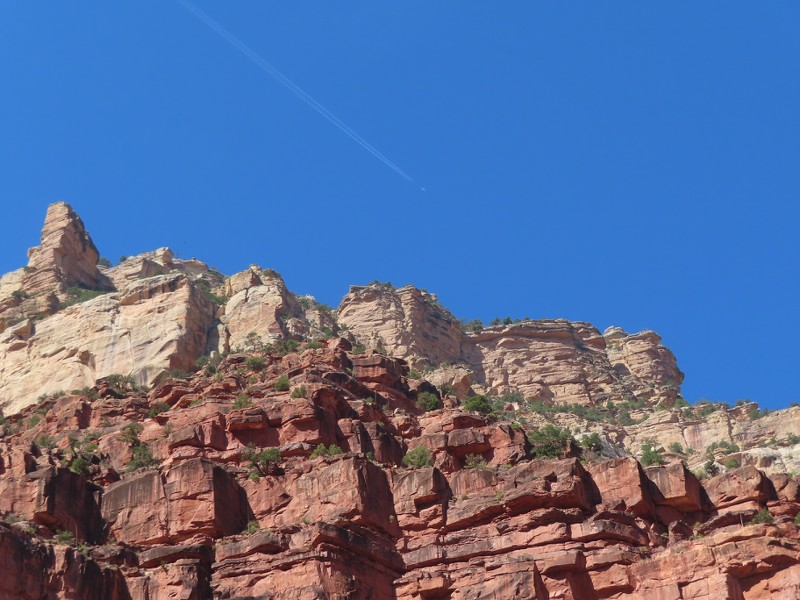
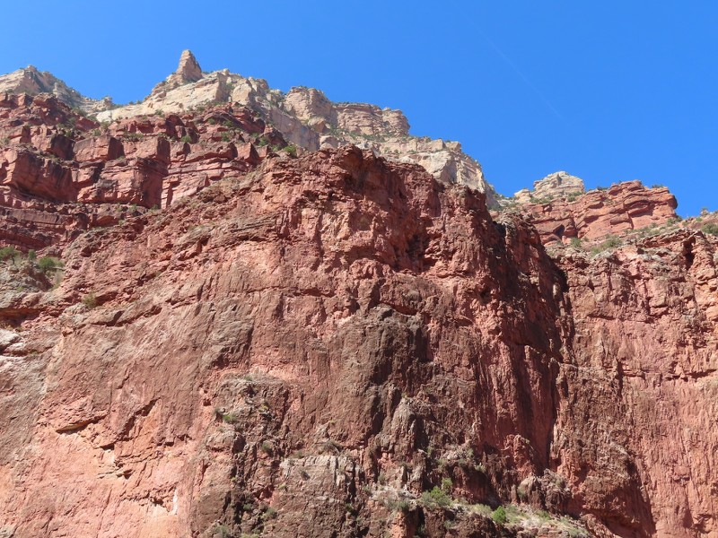
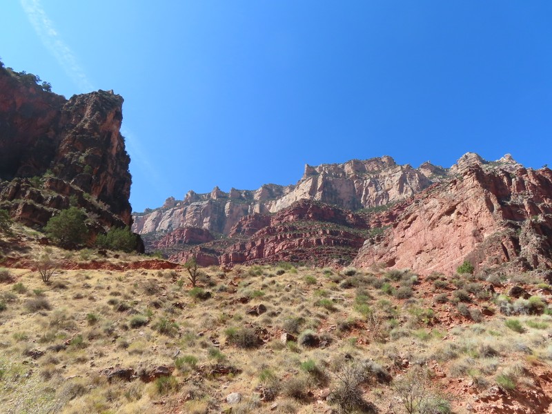
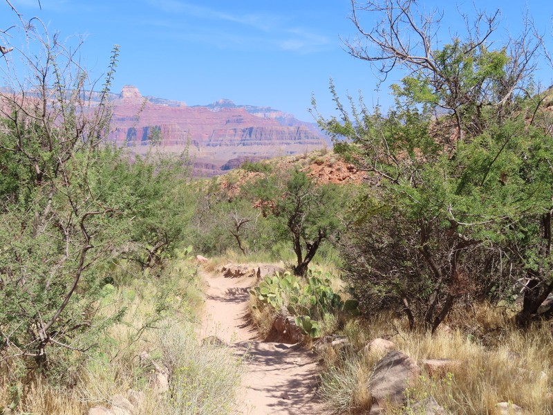
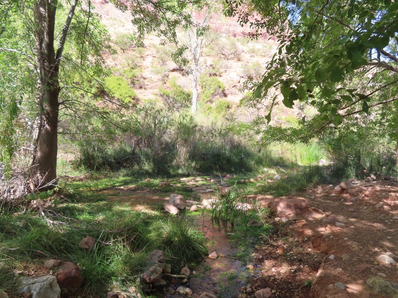
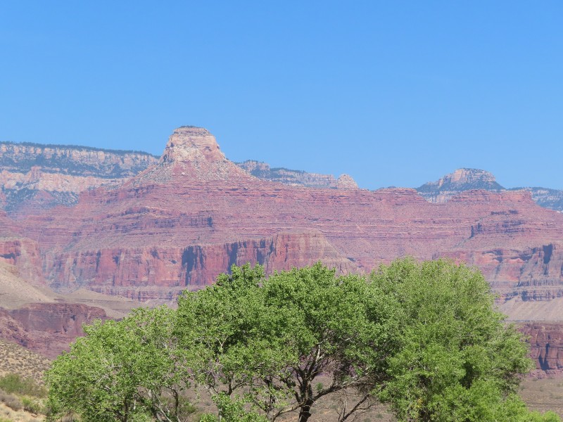
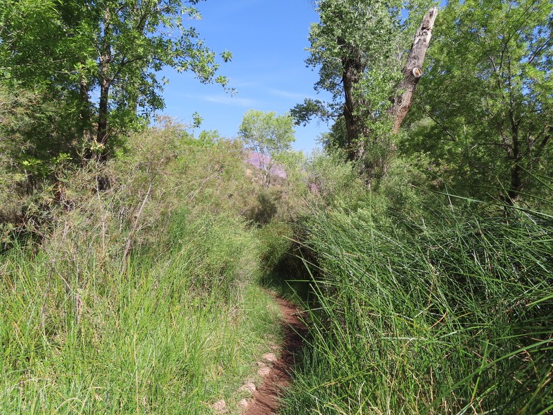
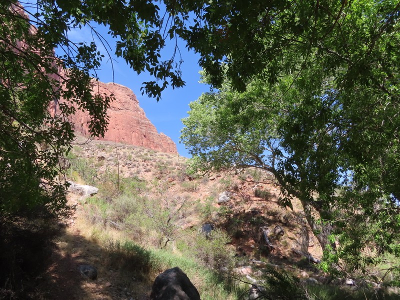
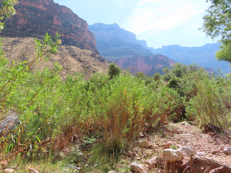
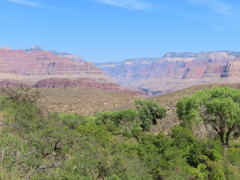
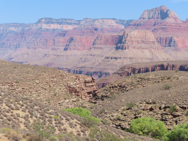
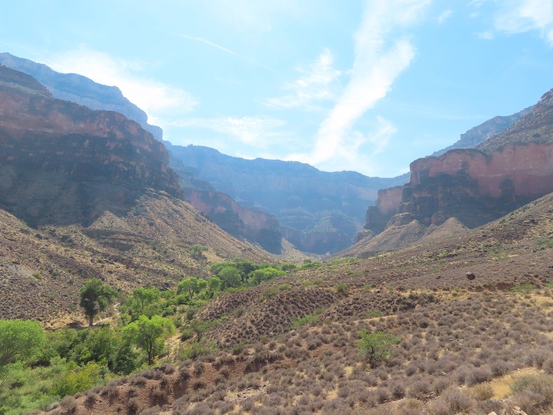
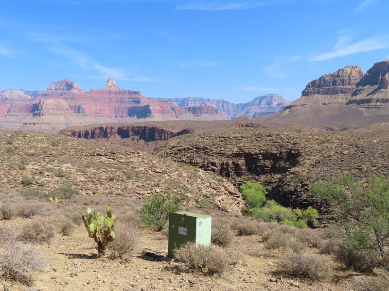
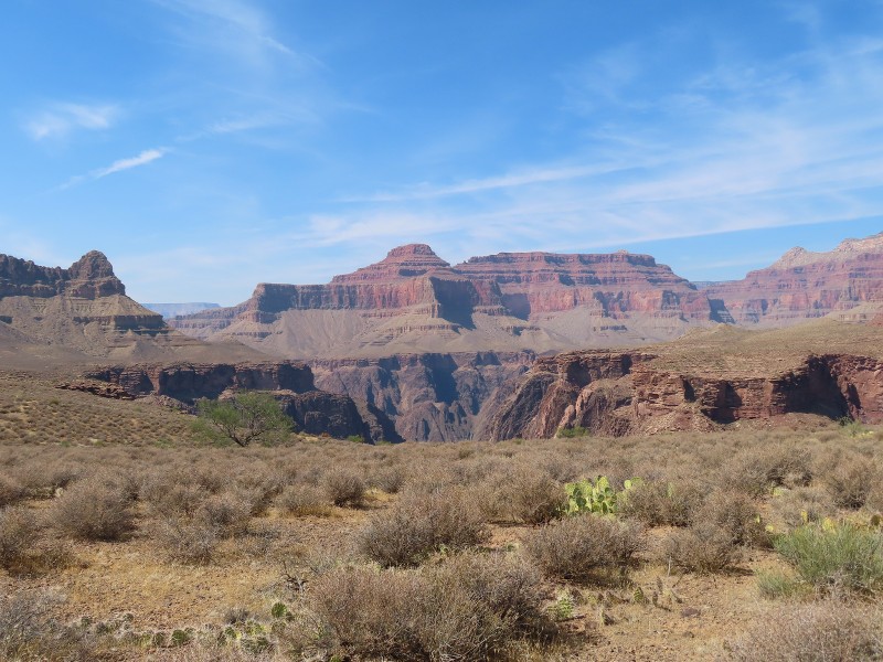
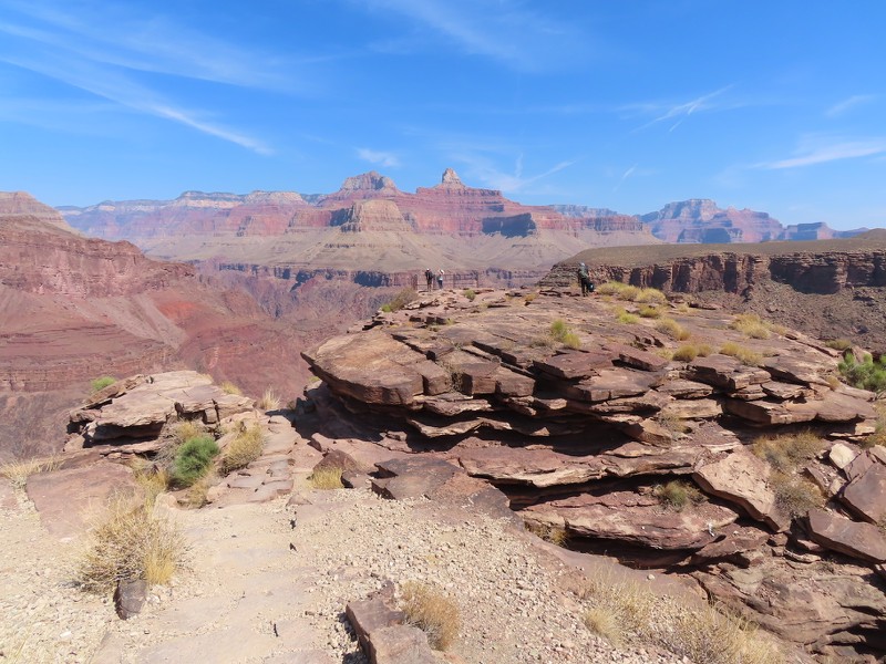
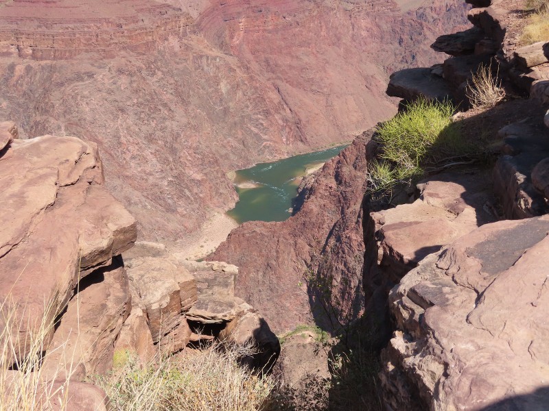
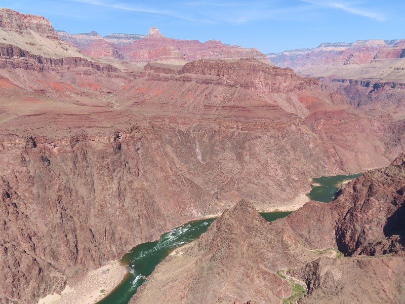
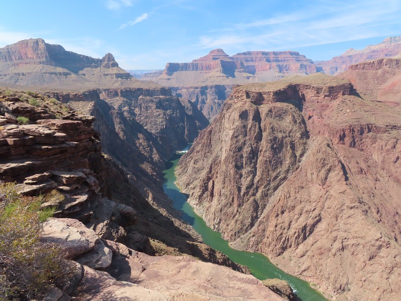
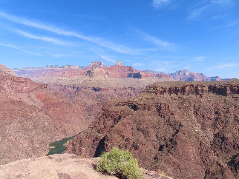
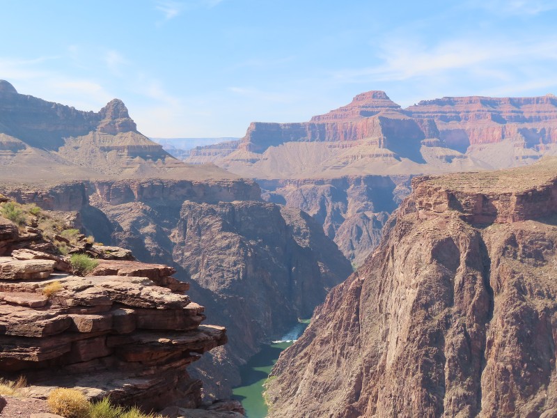
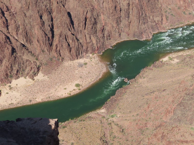
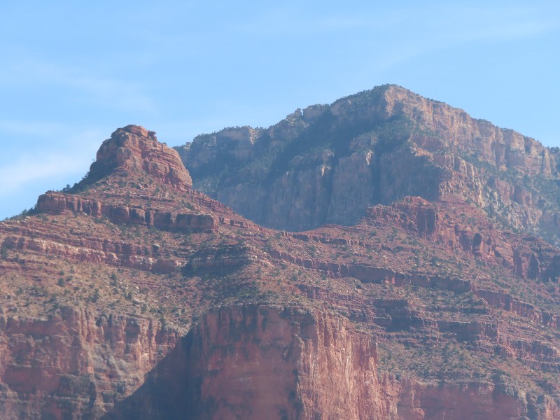
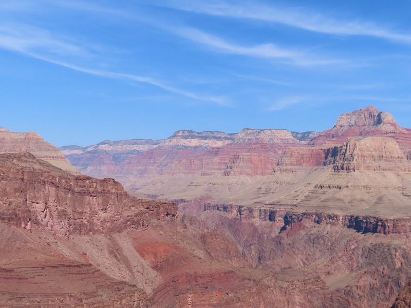
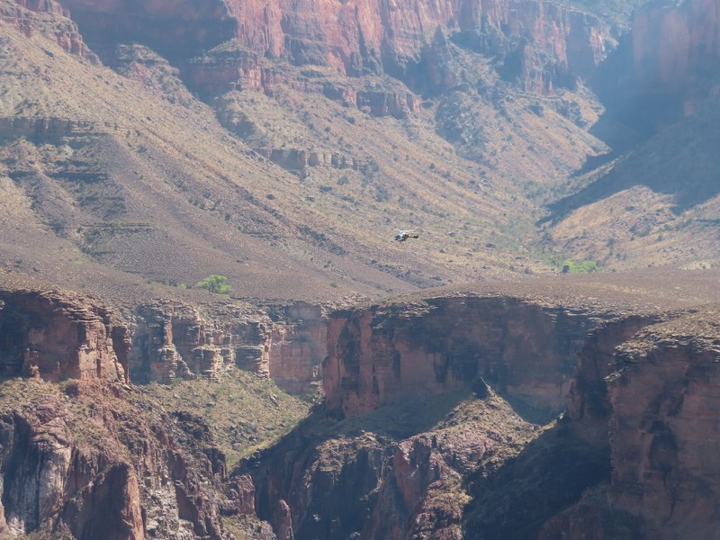
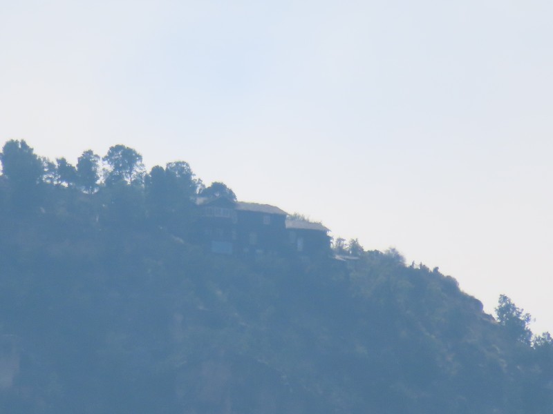
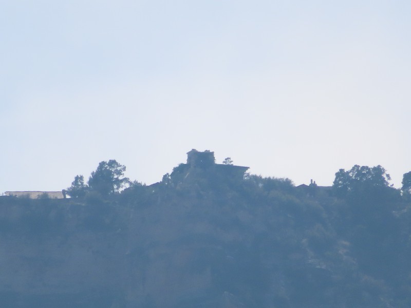
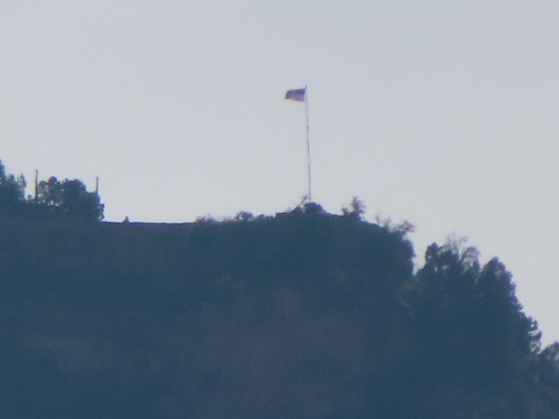
It's been a while since I put some pictures up. Before I dump a ton of photos of the scenery from along the Bright Angel Trail, let's go along the trail and see some of the various structures and landmarks along the trail. I'm only using pictures from ths trip, so some notable landmarks, like the two tunnels, will be missing. Also, pictures are in linear order along the trail, and with some from the hike back up, are thus not in chronological order.
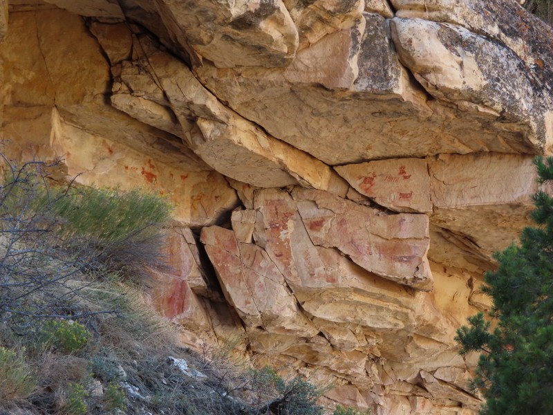
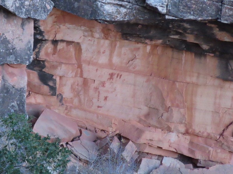
Immediately after passing through the Upper Tunnel, about 0.25 miles down the Bright Angel Trail, the pictographs collectively known as Mallery's Grotto can be seen underneath an overhang.
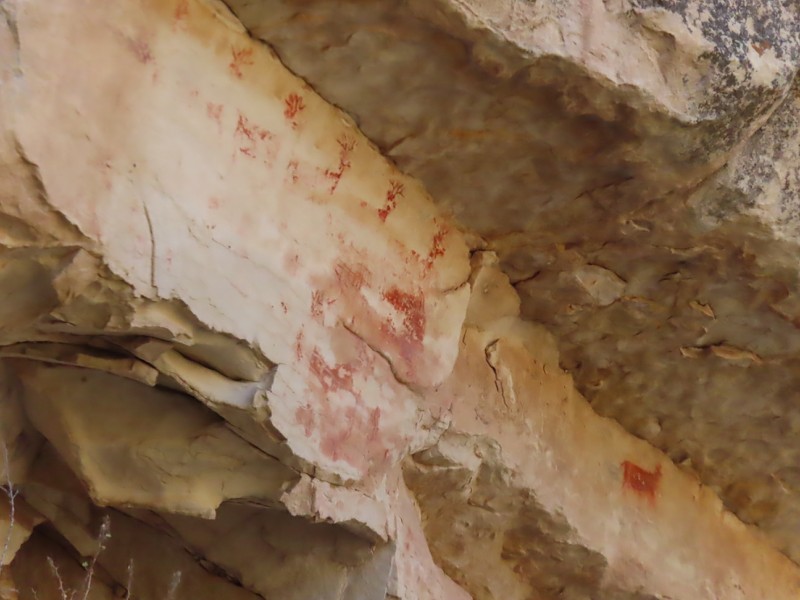
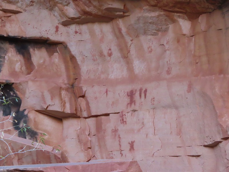
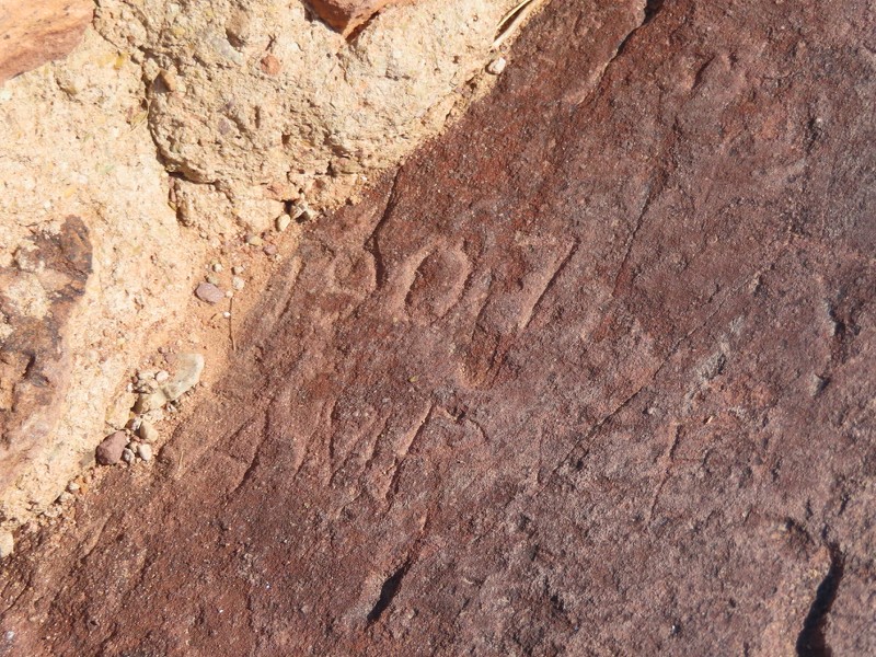
This pictograph is nearby, and looks like it's in English, so it's likely from after 1900.
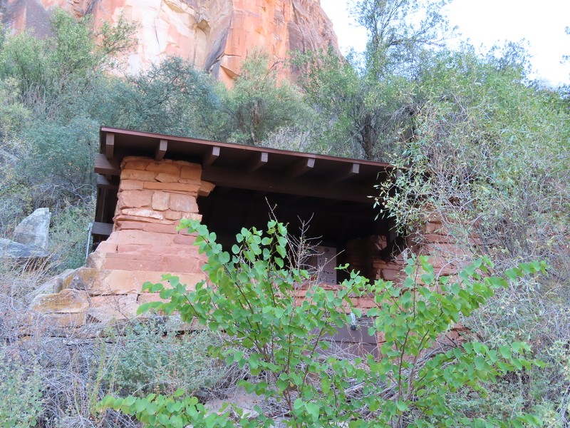
One-and-a-Half Mile Resthouse is located, naturally, at the 1.5 mile mark down the Bright Angel Trail. The resthouse was built in 1936 by the Civilian Conservation Corps.
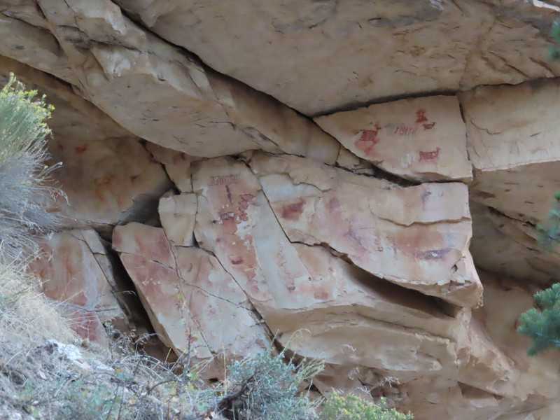
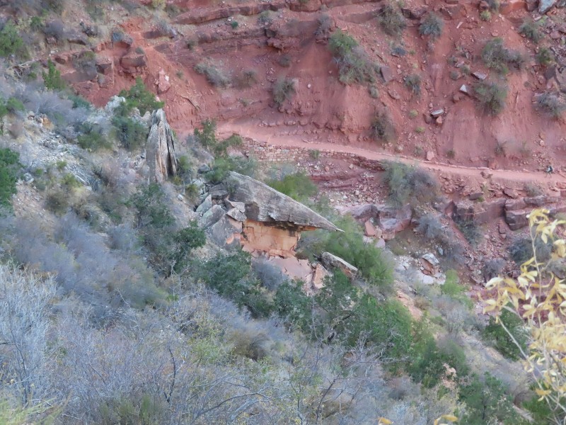
A second set of pictographs is located at around mile 1.75, in between One-and-a-Half Mile Resthouse, and Two Mile Corner. The pictographs are underneath of the overhang of the large boulder.
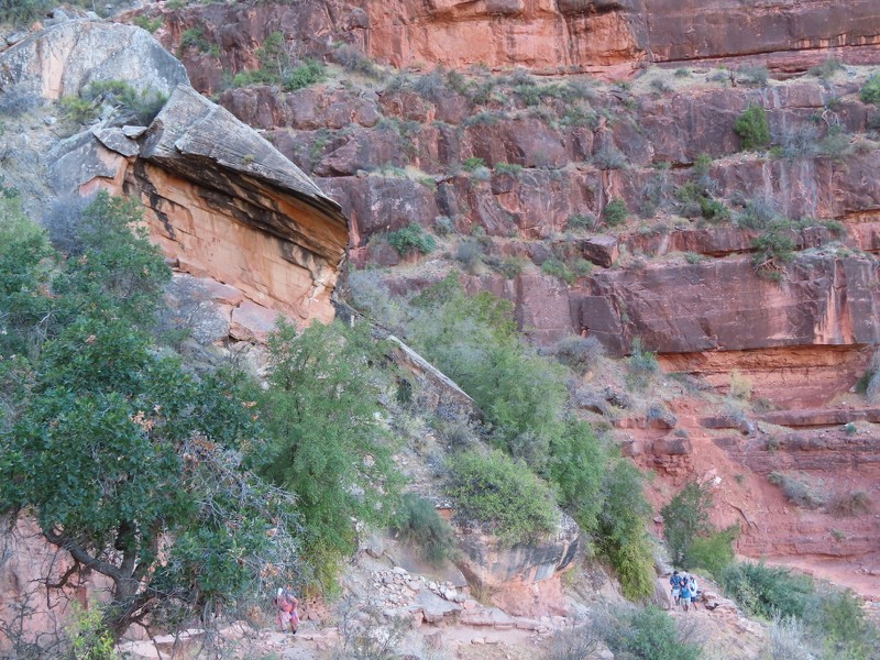
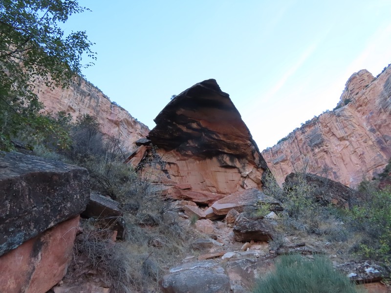
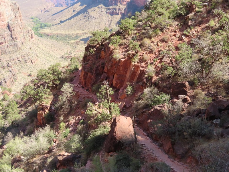
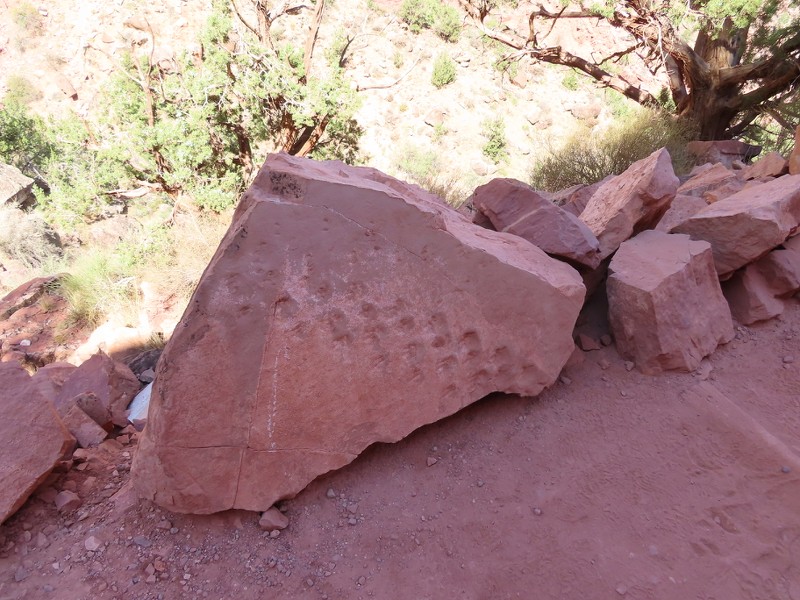
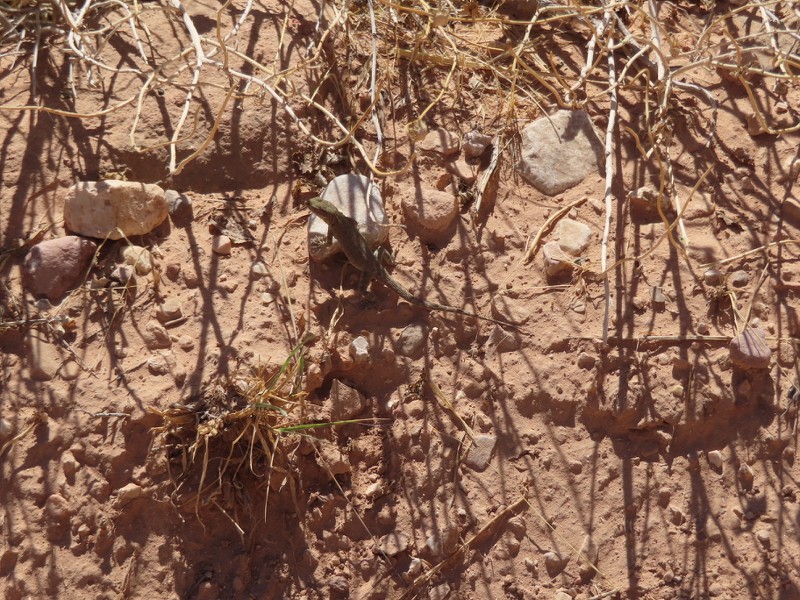
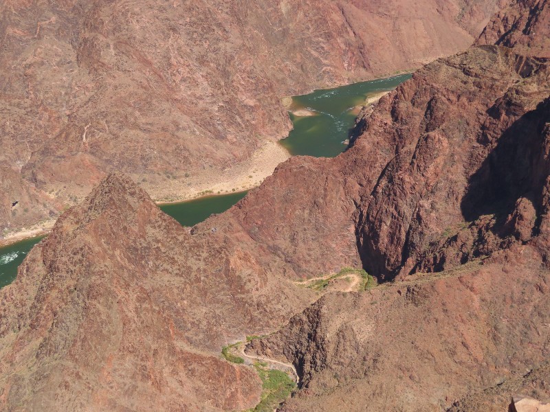
At about 2.25 miles, just past the huge boulder at the center bottom of the picutre, on the downhill side of the trail, are lizard tracks preserved in stone.
The footprints are about 310 million years old, and indicate a lizard walking diagonally through the sand, possibly in a sandstorm. The footprints were hiding in plain sight until discovered in 2016. The discovery was announced to the world in 2018. You can read about it more
here.
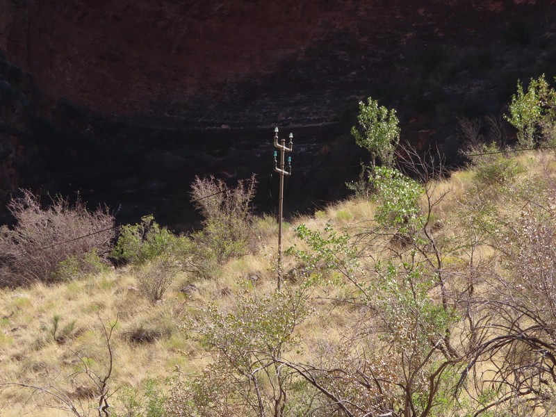
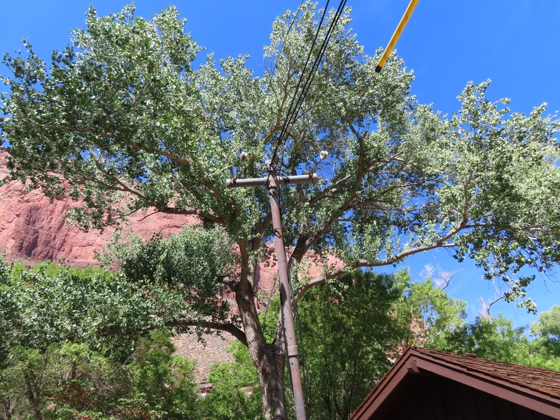
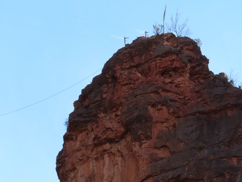
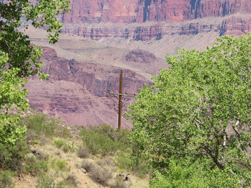
The Trans-Canyon Telephone Line connects the South Rim with the North Rim. It was built in 1934 and laid by the Civilian Conservation Corps, who replaced the original 1922 telephone line that was connected to trees and rocks. A second curcuit was added in 1939. The line has been unaltered since.
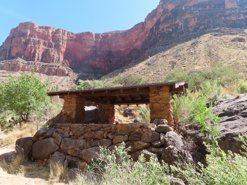
The Indian Garden Trail Shelter is in Indian Garden, and was built in 1937.
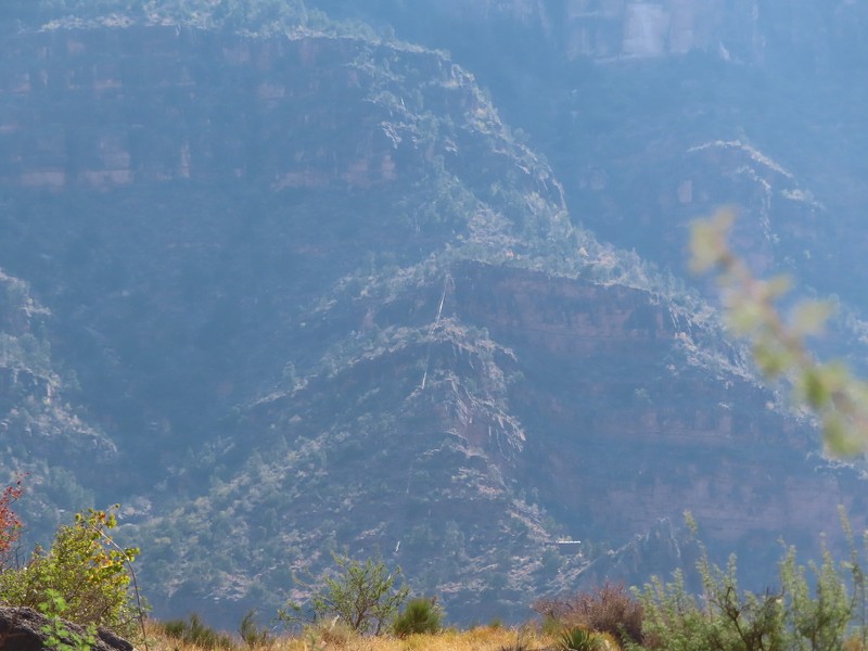
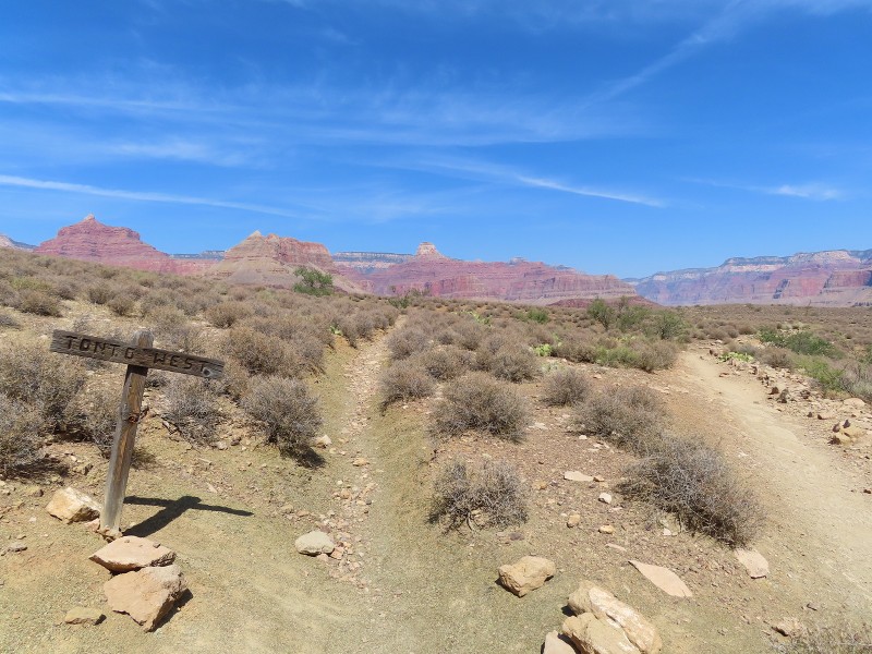
A telephone line continues on along the Tonto Trail, which follows the length of the canyon through the park.


 Prev
Prev


 Linear Mode
