Quote:
Originally Posted by ethereal_reality

 ebay e_r wrote:
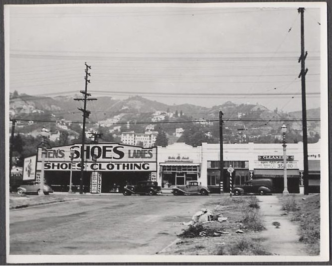
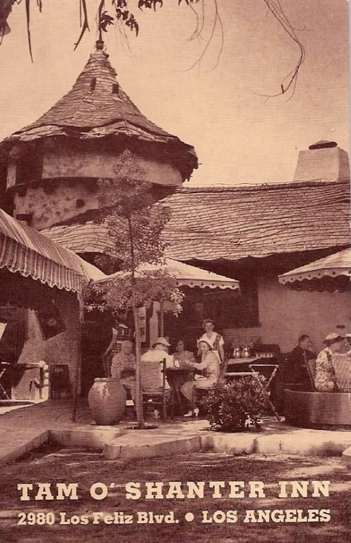
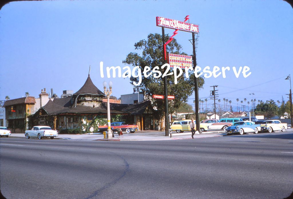
I need some help in figuring out the location of this photo. The seller had no information other than Los Angeles. __ |
With help from
Unihikid, HossC, and Earl B, car-identifier first class, I think we can be confident that the picture was taken looking north on Orlando towards Santa Monica Blvd. in West Hollywood about 1941.
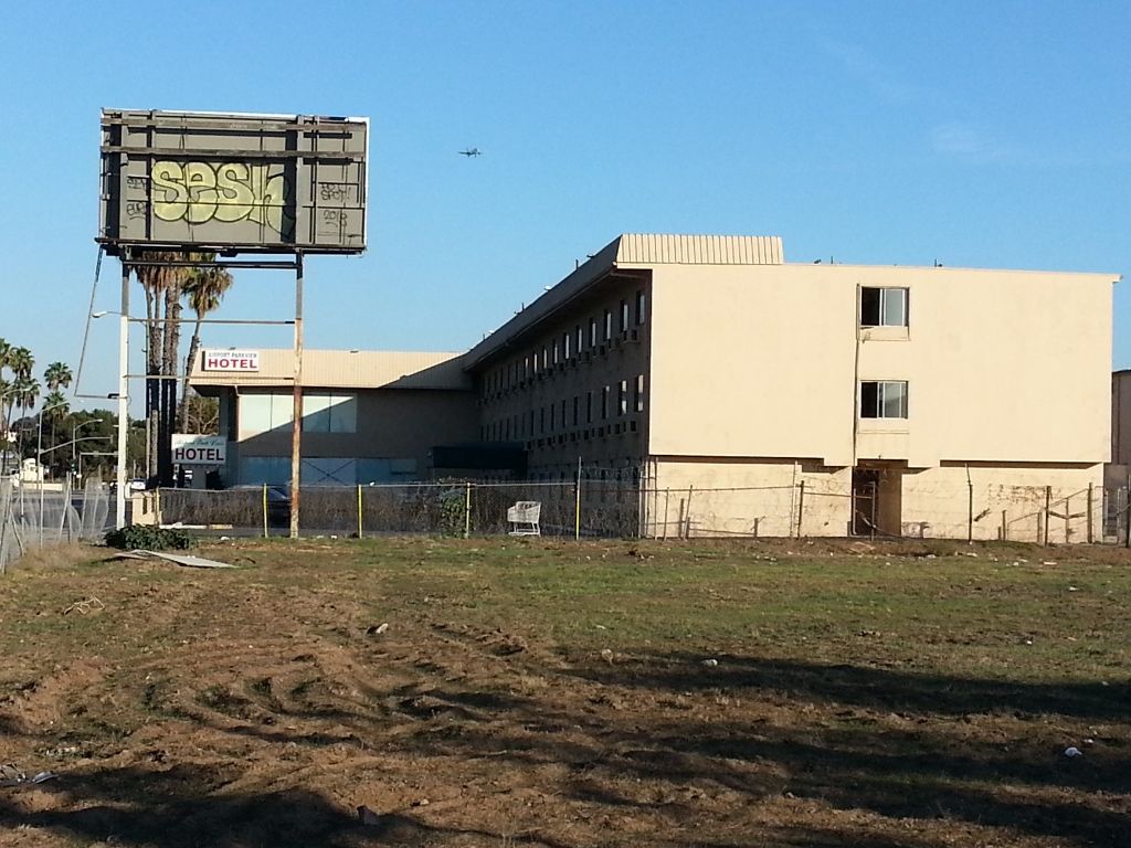
First, the identification of the now Piazza del Sol up on Sunset (which is blocked by a higher structure on the south side of Sunset today) can be confirmed by looking at the following pair:

and

Since the cars look like they're from about 1940, I looked at the 1942 LA city directory in search of cleaners. There were pages and pages of them. I found Joseph Markowitz cleaning clothes at 8407 Santa Monica Boulevard.
Referring to the following Sanborn excerpt (from 10 years later - the shoe/clothing store seems to have gone out of business), we can see how Orlando dead-ends onto Santa Monica, referencing the street numbers on the north side of Santa Monica Boulevard:

The shoe/clothing store is now shown as a "furnishing" store (or "furniture" store).
One of the best things about this thread is how people with different strengths and interests collaborate to solve these little mysteries that
e_r strews around.


 Prev
Prev


 Linear Mode
