Quote:
Originally Posted by HossC

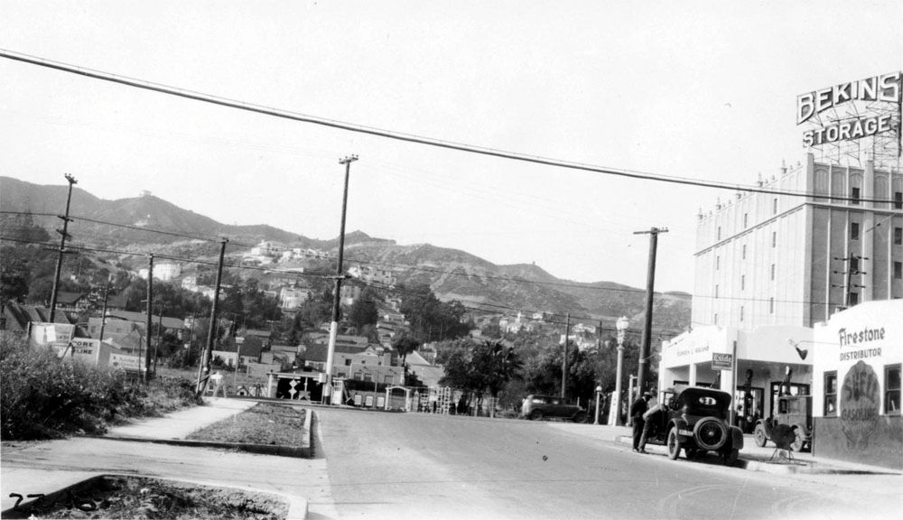
Although the Hacienda Arms building is not visible in the picture below, the view of the mountains is very similar to the one above. It was taken on Croft Avenue looking north toward Santa Monica Boulevard in 1927.
 USC Digital Library
 |
Wow, that's a photo I've never seen before. HossC thanks for posting it. I walk by this location quite frequently.
You say the photo is from 1927. To my eye, that vacant lot space across Santa Monica Blvd. is where Barney's Beanery should be/will be.
From wikipedia:
Barney's Beanery […] was originally founded in 1920 in Berkeley, California, by John "Barney" Anthony, who in 1927 moved it to U.S. Route 66, now Santa Monica Boulevard, (State Route 2) in West Hollywood.
Also, in the above photo, check the street to the left of the car on Santa Monica and you can see how steep the road is. (The street is Olive Dr.)
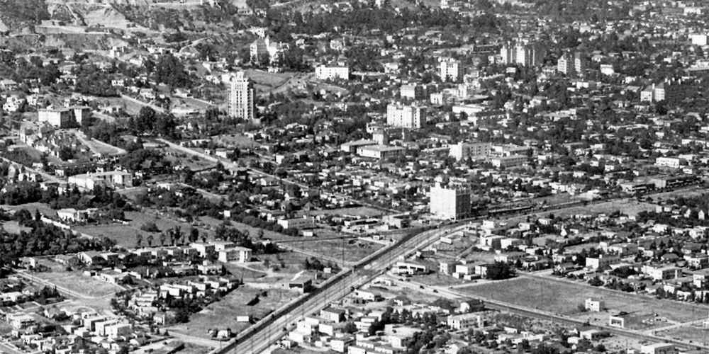
In the aerial below, that street and the roads leading up to Sunset don't look that steep at all. Just wondering why that is and if all aerial photos tend to do that?
 USC Digital Library
SIDEBAR: At the top of Olive Dr. at Sunset is the location of the future Ciro's (1940) and presently is The Comedy Store.