 USCDL
USCDL

GSV
 USCDL
USCDL
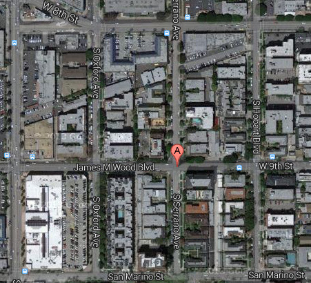
I've been digging into Pellissier Square--a 1913 subdivision b/b Wilshire, San Marino, Western and a line ½ block east of Hobart. The three views above are from the n/e corner of Serrano and 9th--different lenses, of course, so they're not the perfect match--but I was struck by the complete change of scene. The northerly part was for big houses, costing no less than $10,000; the section south of 8th Street was meant for smaller, less expensive ($5,000) houses, as well as apartment buildings. (One reason was the rail line seen in the maps below, which I think we've touched on here before.) In the 1928 shots, note the difference in streetlamps between the two sections and the announcement of the "Chateau Chaumont" on the billboards, which still stands.

 Historic Map Works
/GSV
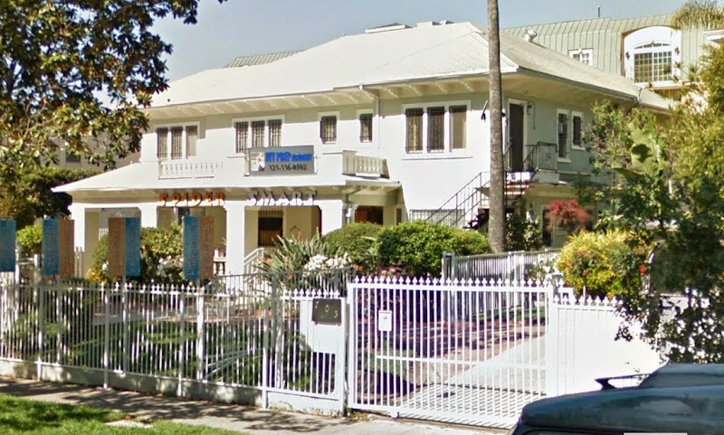
Only a handful of houses remain in Pellissier Square--among them is 715 S. Serrano, which is seen below in a 1917 Times illustration and today:
 LAT
LAT
GSV
 USCDL
USCDL
The weedy lot at the s/e corner of Serrano & 9th in 1928 reminds me of a certain weedy lot on S. Norton...